American Tobacco Trail, Durham
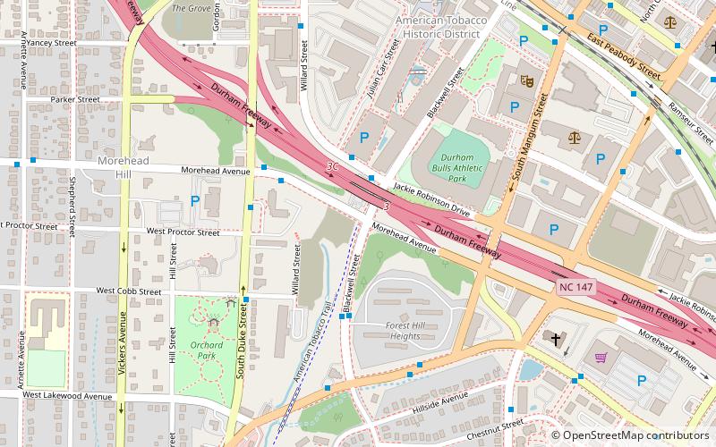
Map
Gallery
Facts and practical information
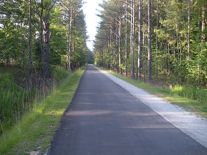
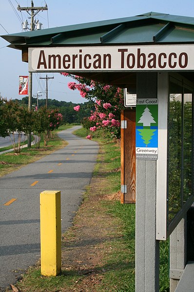
The American Tobacco Trail is a 22.6-mile long Rails-to-Trails project located in the Research Triangle region of North Carolina, running along an abandoned railroad bed originally built for the American Tobacco Company in the 1970s. The route crosses through the City of Durham, Durham County, Chatham County, and Wake County. The ATT is part of the East Coast Greenway and is open to pedestrians, cyclists, equestrians and other non-motorized users. ()
Length: 22.6 miSeason: All yearCoordinates: 35°59'26"N, 78°54'23"W
Address
Southside - St. TeresaDurham
ContactAdd
Social media
Add
Day trips
American Tobacco Trail – popular in the area (distance from the attraction)
Nearby attractions include: Durham Bulls Athletic Park, Durham Athletic Park, Carolina Theatre, Durham Farmers' Market.
Frequently Asked Questions (FAQ)
Which popular attractions are close to American Tobacco Trail?
Nearby attractions include Durham Bulls Athletic Park, Durham (4 min walk), John Sprunt Hill House, Durham (6 min walk), American Tobacco Historic District, Durham (8 min walk), Durham Performing Arts Center, Durham (8 min walk).
How to get to American Tobacco Trail by public transport?
The nearest stations to American Tobacco Trail:
Bus
Train
Bus
- Durham Station • Lines: 1, 10, 10B, 11, 11B, 12, 12B, 2, 3, 3B, 3C, 3T, 4, 5, 5K, 6, 7, 8, 9, 9A, 9B, Drx (10 min walk)
- University Dr at Hill St • Lines: 7 (11 min walk)
Train
- Durham (13 min walk)
