Chicago Riverwalk, Chicago
Map
Gallery
Facts and practical information
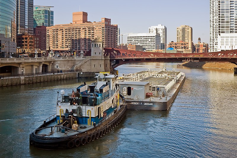
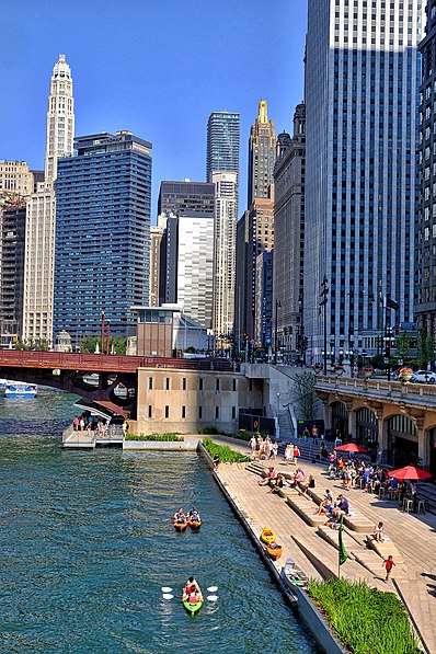
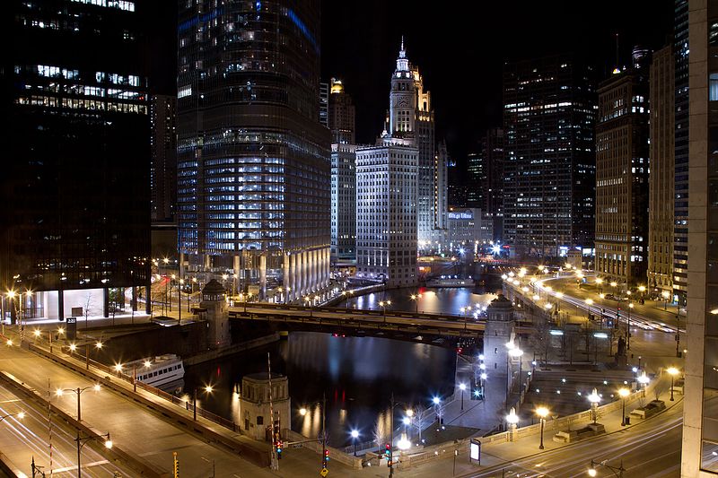
The Chicago Riverwalk is a multi-use public space located on the south bank of the main branch of the Chicago River, extending from Lake Shore Drive and Lake Michigan to Lake Street. The Chicago Riverwalk contains bars, cafes and restaurants; small parks; boat and kayak rentals; a Vietnam War memorial; and other amenities. Its planned final extent is Wolf Point. ()
Elevation: 574 ft a.s.l.Coordinates: 41°53'18"N, 87°37'18"W
Address
105 W to 485 East Riverwalk SouthDowntown (The Loop)Chicago
Contact
+1 312 742 7529
Social media
Add
Day trips
Chicago Riverwalk – popular in the area (distance from the attraction)
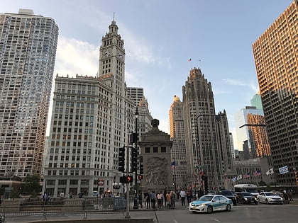
Nearby attractions include: Architecture Center, Michigan Avenue Bridge, Wrigley Building, The Shops at North Bridge.
Frequently Asked Questions (FAQ)
Which popular attractions are close to Chicago Riverwalk?
Nearby attractions include 333 North Michigan, Chicago (4 min walk), Jean Baptiste Point Du Sable Homesite, Chicago (4 min walk), Illinois Center, Chicago (4 min walk), Michigan Avenue Bridge, Chicago (4 min walk).
How to get to Chicago Riverwalk by public transport?
The nearest stations to Chicago Riverwalk:
Bus
Train
Metro
Bus
- Wacker & Columbus • Lines: 134, 135, 136, 20, 6 (2 min walk)
- Wacker & Stetson • Lines: 134, 135, 136, 6 (2 min walk)
Train
- Millennium Station (8 min walk)
- Van Buren Street (21 min walk)
Metro
- State/Lake • Lines: Brown, Green, Orange, Pink, Purple (10 min walk)
- Lake • Lines: Red (10 min walk)



 Rail "L"