Uptown, Memphis

Map
Facts and practical information
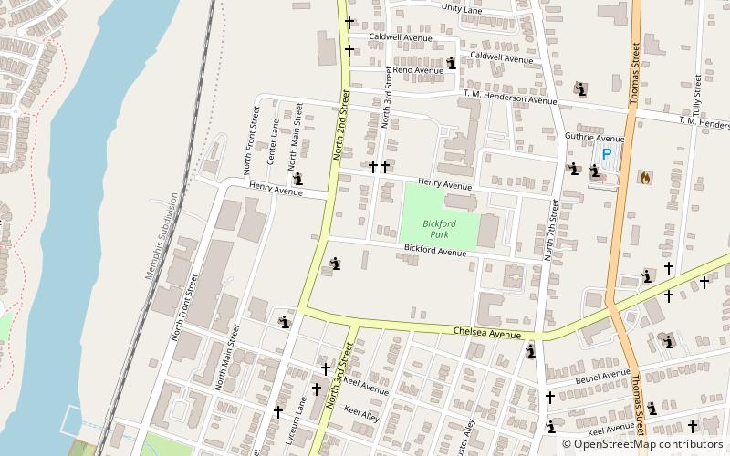
Uptown Memphis is a neighborhood located near downtown Memphis, Tennessee. In 1999, the Uptown Partnership renamed the historic North Memphis Greenlaw neighborhood "Uptown" in concert with a public-private revitalization effort that defined Uptown as one hundred city blocks east of the Wolf River and North of A.W. Willis Avenue. The historic Greenlaw section of this neighborhood consists of the thirty city blocks closest to the Wolf River. ()
Coordinates: 35°9'55"N, 90°2'33"W
Address
North MemphisMemphis
ContactAdd
Social media
Add
Day trips
Uptown – popular in the area (distance from the attraction)
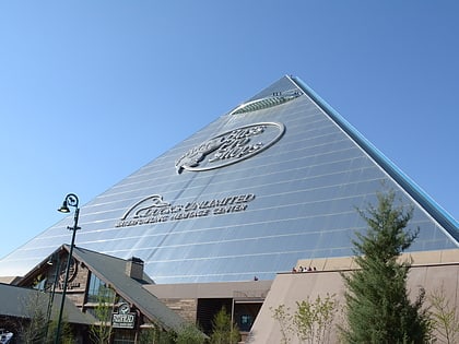
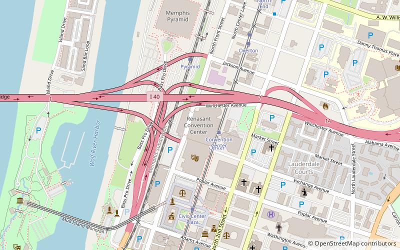
Nearby attractions include: Mississippi River Museum, Pyramid Arena, Hernando de Soto Bridge, Memphis Cook Convention Center.
Frequently Asked Questions (FAQ)
Which popular attractions are close to Uptown?
Nearby attractions include Burkle Estate, Memphis (2 min walk), Greenlaw Addition Historic District, Memphis (11 min walk), George Collins Love House, Memphis (12 min walk), Porter-Leath House, Memphis (16 min walk).
How to get to Uptown by public transport?
The nearest stations to Uptown:
Tram
Bus
Tram
- North End • Lines: MATA Trolley Main Street Line, MATA Trolley Riverfront Loop (18 min walk)
- Overton • Lines: MATA Trolley Main Street Line, MATA Trolley Riverfront Loop (21 min walk)
Bus
- MATA Willian Hudson Transit Center - Bus Terminal (18 min walk)


