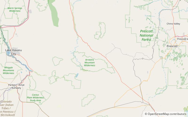
Poachie Range, Arrastra Mountain Wilderness
Map

Map

Facts and practical information
The Poachie Range is a moderate length mountain range and massif in southeast Mohave County, Arizona, and the extreme southwest corner of Yavapai County; the range also abuts the northeast corner of La Paz County. The Poachie Range massif is bordered by the south-flowing Big Sandy River on its west, and the west-flowing Santa Maria River on its south; both rivers converge at the Poachie Range's southwest at Alamo Lake in Alamo Lake State Park. ()
Maximum elevation: 4807 ftCoordinates: 34°25'16"N, 113°22'55"W
Address
Arrastra Mountain Wilderness
ContactAdd
Social media
Add
