Manette Bridge, Bremerton
Map
Map

Facts and practical information
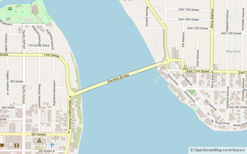
The Manette Bridge was a steel truss bridge that spanned the Port Washington Narrows in Bremerton, Washington, USA. It connected the community of Manette, Washington to downtown Bremerton. Although it is not part of a numbered state highway, it is one of four bridges specifically designated by state law to be maintained by the Washington Department of Transportation. The bridge was 82 feet above the water, and had a horizontal clearance of 321 feet between the piers. ()
Length: 1573 ftCoordinates: 47°34'12"N, 122°37'12"W
Address
East Bremerton (Manette)Bremerton
ContactAdd
Social media
Add
Day trips
Manette Bridge – popular in the area (distance from the attraction)
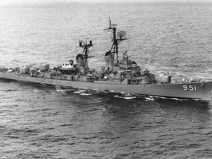
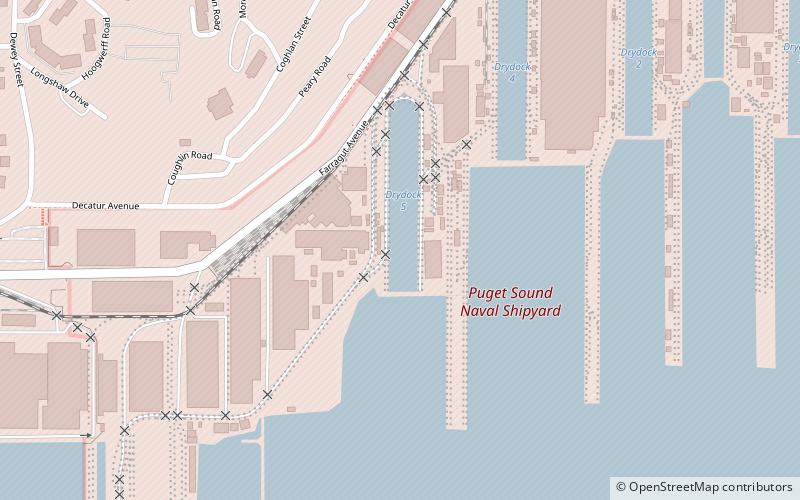
Nearby attractions include: USS Turner Joy, Whitey Domstad Park, Bremerton Ice Center, Puget Sound Naval Shipyard Historic District.
Frequently Asked Questions (FAQ)
Which popular attractions are close to Manette Bridge?
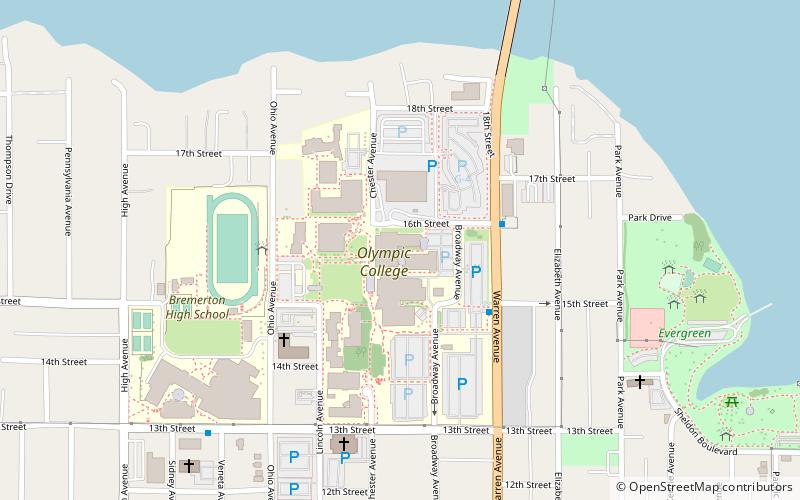
Nearby attractions include Whitey Domstad Park, Bremerton (4 min walk), USS Turner Joy, Bremerton (10 min walk), Olympic College, Bremerton (21 min walk).

