Aztec Municipal Golf Course, Aztec

Gallery (1)
Map
Map
Facts and practical information
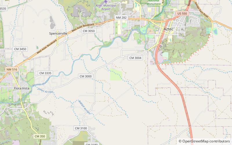
Aztec Municipal Golf Course (address: 29 Road 3025) is a place located in Aztec (New Mexico state) and belongs to the category of outdoor activities, golf.
It is situated at an altitude of 5636 feet, and its geographical coordinates are 36°48'5"N latitude and 108°1'26"W longitude.
Among other places and attractions worth visiting in the area are: Aztec Ruins National Monument (national park, 70 min walk).
Coordinates: 36°48'5"N, 108°1'26"W
Day trips
Aztec Municipal Golf Course – popular in the area (distance from the attraction)
Nearby attractions include: Aztec Ruins National Monument.
