Mariner's Church, Portland
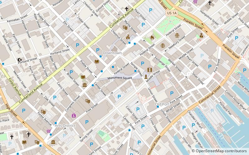
Map
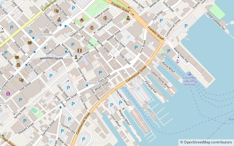
Map

Facts and practical information
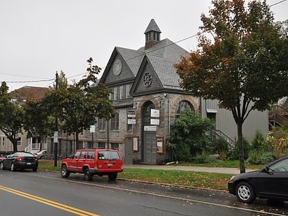
Mariner's Church is a historic church and commercial building at 368-374 Fore Street in Portland, Maine. Built in 1828, the Greek Revival building historically served as both a church and marketplace. It was for many years the city's largest commercial building, and survived the city's great 1866 fire. It was listed on the National Register of Historic Places in 1973. It is now home to the Old Port Tavern and other commercial businesses. ()
Built: 1828 (198 years ago)Coordinates: 43°39'23"N, 70°15'11"W
Address
Downtown PortlandPortland
ContactAdd
Social media
Add
Day trips
Mariner's Church – popular in the area (distance from the attraction)
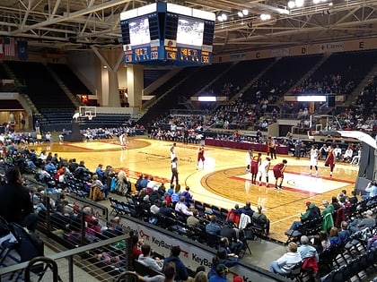
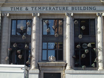
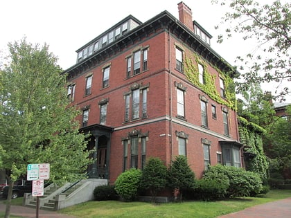
Nearby attractions include: Cross Insurance Arena, Time and Temperature Building, Thomas Brackett Reed House, Monument Square.
Frequently Asked Questions (FAQ)
Which popular attractions are close to Mariner's Church?
Nearby attractions include Exchange Street, Portland (3 min walk), United States Custom House, Portland (3 min walk), Old Port, Portland (4 min walk), Pullen Fountain, Portland (6 min walk).
How to get to Mariner's Church by public transport?
The nearest stations to Mariner's Church:
Bus
Ferry
Bus
- City Hall - Congress St. • Lines: 9B (7 min walk)
- City Hall • Lines: 9A (7 min walk)
Ferry
- Casco Bay Lines Ferry Terminal (7 min walk)

