Marquette Island
Map

Map

Facts and practical information
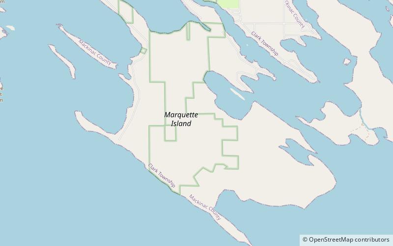
Marquette Island is the largest of the 36 islands in the Les Cheneaux archipelago of northern Michigan, United States. Located in Mackinac County on the north shore of Lake Huron, the island has a small summer population. It is 6.5 miles long and 3.5 miles wide. Its geographic center is close to 45 degrees 57 minutes N. 84 degrees 23 minutes W. ()
Coordinates: 45°57'37"N, 84°23'37"W
Location
Michigan
ContactAdd
Social media
Add
Day trips
Marquette Island – popular in the area (distance from the attraction)
Nearby attractions include: Les Cheneaux Islands.

