Flushing, New York City
Map
Gallery
Facts and practical information
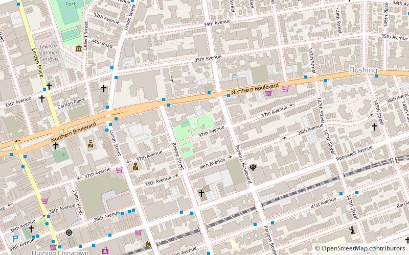
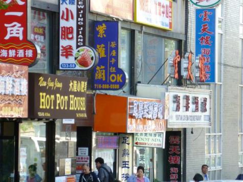
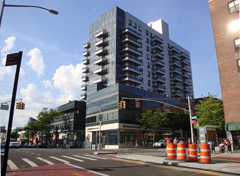
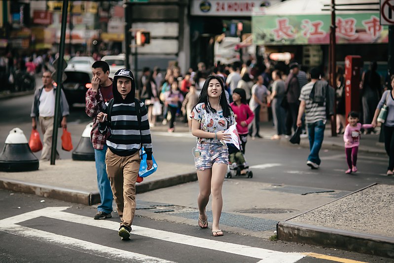
Flushing is a neighborhood in the north-central portion of the New York City borough of Queens. The neighborhood is the fourth-largest central business district in New York City. Downtown Flushing, a major commercial and retail area centered on the intersection of Main Street and Roosevelt Avenue, is the third-busiest intersection in New York City, behind Times Square and Herald Square. ()
Address
Northeastern Queens (Flushing)New York City
ContactAdd
Social media
Add
Day trips
Flushing – popular in the area (distance from the attraction)
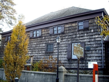
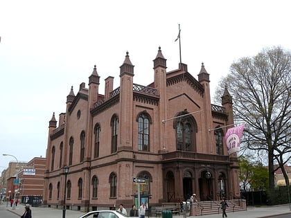
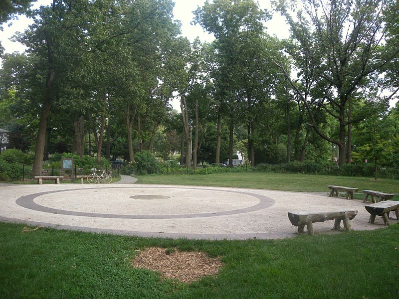
Nearby attractions include: Rachel Carson Playground, Kissena Park, Old Quaker Meeting House, Flushing Town Hall.
Frequently Asked Questions (FAQ)
Which popular attractions are close to Flushing?
Nearby attractions include Hindu Temple Society of North America, New York City (9 min walk), Rachel Carson Playground, New York City (9 min walk), Kopytko Triangle, New York City (11 min walk), Kissena Park, New York City (12 min walk).
How to get to Flushing by public transport?
The nearest stations to Flushing:
Bus
Train
Metro
Bus
- Kissena Boulevard & Oak Avenue • Lines: Q17, Q25, Q34 (2 min walk)
- Kissena Boulevard & Holly Avenue • Lines: Q17, Q27 (7 min walk)
Train
- Flushing–Main Street (26 min walk)
- Murray Hill (26 min walk)
Metro
- Flushing–Main Street • Lines: <7>, 7 (27 min walk)



 Subway
 Manhattan Buses

