Mayport Ferry, Jacksonville
Map

Map

Facts and practical information
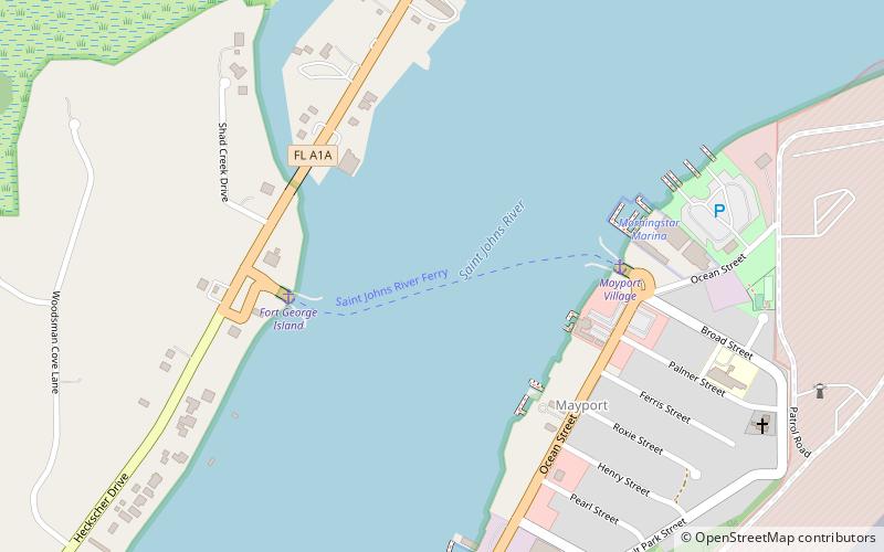
The Saint Johns River Ferry, also known as the Mayport Ferry, is an automobile ferry between Mayport and Fort George Island, two areas within Jacksonville, Florida. The 0.9 miles voyage crosses the Saint Johns River about 2.5 miles inland of the river's mouth and travels in an east-west direction for approximately 2,000 feet on State Road A1A. It departs every half-hour. ()
Coordinates: 30°23'44"N, 81°25'60"W
Day trips
Mayport Ferry – popular in the area (distance from the attraction)
Nearby attractions include: St. Johns River Light, St. George Episcopal Church, San Juan del Puerto, Morningstar Marinas.
Frequently Asked Questions (FAQ)
Which popular attractions are close to Mayport Ferry?
Nearby attractions include Morningstar Marinas, Jacksonville (7 min walk), St. Johns River Light, Jacksonville (12 min walk).


