Arcadia Valley, Ironton
Map

Map

Facts and practical information
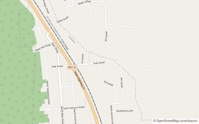
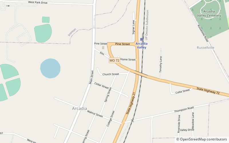
Arcadia Valley in Missouri is located 80 miles south of St. Louis in the St. Francois Mountains of the Ozark Plateau. The valley includes of the towns of Arcadia, Ironton and Pilot Knob, all founded in the 19th century. ()
Coordinates: 37°36'24"N, 90°37'30"W
Address
Ironton
ContactAdd
Social media
Add
Day trips
Arcadia Valley – popular in the area (distance from the attraction)
Nearby attractions include: Iron County Courthouse, Fort Hovey, St. Paul's Episcopal Church, Ironton Lodge Hall.
Frequently Asked Questions (FAQ)
Which popular attractions are close to Arcadia Valley?
Nearby attractions include St. Paul's Episcopal Church, Ironton (13 min walk), Ironton Lodge Hall, Ironton (15 min walk), Iron County Courthouse, Ironton (17 min walk).


