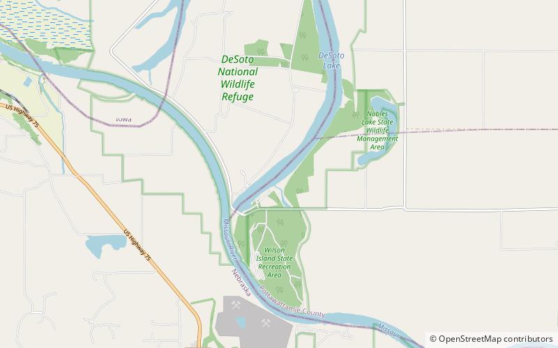
DeSoto Lake, DeSoto National Wildlife Refuge
Map

Map

Facts and practical information
DeSoto Lake is a lake within DeSoto National Wildlife Refuge, Harrison and Pottawattamie counties, Iowa and Washington County, Nebraska. The 811 acres lake has a maximum depth of 26 feet. Though it has the appearance of a natural lake it is man-made, created from a channel leading from the Missouri River in 1958. ()
Maximum depth: 26 ftElevation: 981 ft a.s.l.Coordinates: 41°29'54"N, 96°0'23"W
Address
DeSoto National Wildlife Refuge
ContactAdd
Social media
Add
Day trips
DeSoto Lake – popular in the area (distance from the attraction)
Nearby attractions include: Boyer Chute National Wildlife Refuge, Missouri Valley.


