Menands Bridge, Albany
Map

Map

Facts and practical information
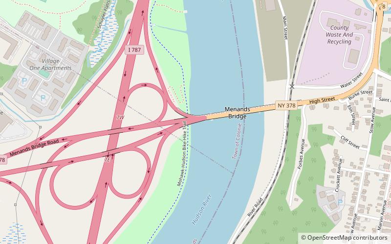
The Menands Bridge, officially known as the Troy-Menands Bridge, carries New York State Route 378 across the Hudson River in New York connecting Menands with Troy. A through truss span, it was built in 1933. ()
Opened: 1933 (93 years ago)Coordinates: 42°42'3"N, 73°42'16"W
Address
MenandsAlbany
ContactAdd
Social media
Add
Day trips
Menands Bridge – popular in the area (distance from the attraction)
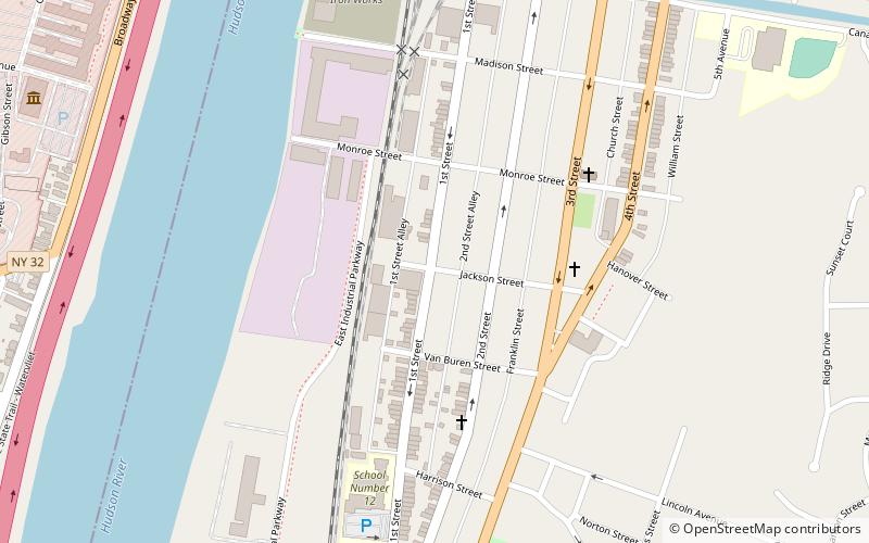
Nearby attractions include: Burden Iron Works Museum, Hudson Valley Community College, Iron Building, Searle.
Frequently Asked Questions (FAQ)
How to get to Menands Bridge by public transport?
The nearest stations to Menands Bridge:
Bus
Bus
- Burden Ave & Cross St • Lines: 224 (13 min walk)
- Mill St & Erie St • Lines: 224 (18 min walk)


