Menomonee Valley, Milwaukee
Map

Gallery

Facts and practical information
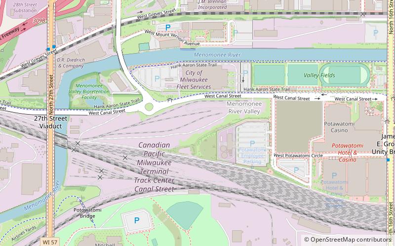
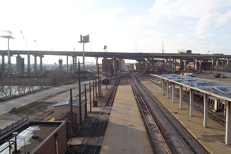
The Menomonee Valley or Menomonee River Valley is a U-shaped land formation along the southern bend of the Menomonee River in Milwaukee, Wisconsin. Because of its easy access to Lake Michigan and other waterways, the neighborhood has historically been home to the city's stockyards, rendering plants, shipping, and other heavy industry. It was also a primary source of pollution for the river. ()
Coordinates: 43°1'50"N, 87°56'29"W
Address
Menomonee River ValleyMilwaukee
ContactAdd
Social media
Add
Day trips
Menomonee Valley – popular in the area (distance from the attraction)
Nearby attractions include: BMO Harris Bradley Center, UW-Milwaukee Panther Arena, Pabst Mansion, Mitchell Park Horticultural Conservatory.
Frequently Asked Questions (FAQ)
Which popular attractions are close to Menomonee Valley?
Nearby attractions include Mitchell Park Horticultural Conservatory, Milwaukee (10 min walk), Potawatomi Hotel & Casino, Milwaukee (10 min walk), The Rave/Eagles Club, Milwaukee (14 min walk), Grand Avenue Congregational Church, Milwaukee (14 min walk).
How to get to Menomonee Valley by public transport?
The nearest stations to Menomonee Valley:
Bus
Bus
- FlixBus Milwaukee • Lines: 2511 (34 min walk)


