Milwaukee County Federated Library System, Milwaukee
Map

Map

Facts and practical information
The Milwaukee County Federated Library System is a public library organization that coordinates activities between its member public libraries, which collectively serve the Milwaukee metropolitan area. It is governed by a board of trustees and funded by the State of Wisconsin and each member library. ()
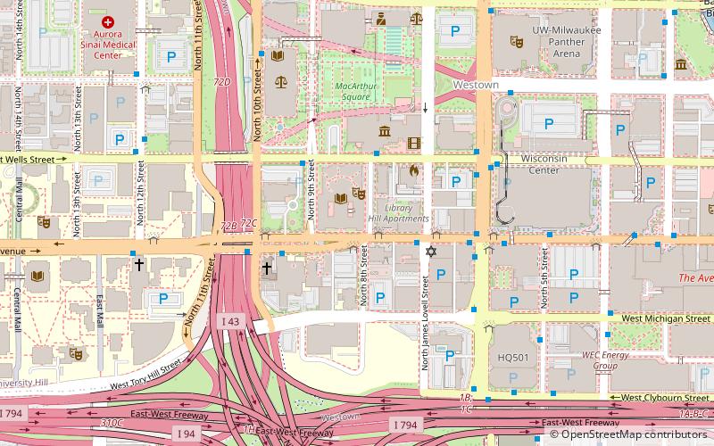
Coordinates: 43°2'21"N, 87°55'19"W
Day trips
Milwaukee County Federated Library System – popular in the area (distance from the attraction)
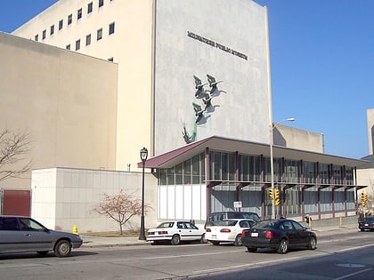
Nearby attractions include: Milwaukee Public Museum, BMO Harris Bradley Center, The Shops of Grand Avenue, UW-Milwaukee Panther Arena.
Frequently Asked Questions (FAQ)
Which popular attractions are close to Milwaukee County Federated Library System?
Nearby attractions include Milwaukee Public Library, Milwaukee (1 min walk), St. James Episcopal Church, Milwaukee (2 min walk), Milwaukee Public Museum, Milwaukee (3 min walk), Calvary Presbyterian Church, Milwaukee (4 min walk).
How to get to Milwaukee County Federated Library System by public transport?
The nearest stations to Milwaukee County Federated Library System:
Bus
Tram
Train
Bus
- FlixBus Milwaukee • Lines: 2511 (5 min walk)
- Milwaukee Greyhound Station (11 min walk)
Tram
- Intermodal Station • Lines: M (11 min walk)
- Saint Paul at Plankinton • Lines: M (16 min walk)
Train
- Milwaukee (11 min walk)


