Vanco Golf Range, Vancouver

Gallery (1)
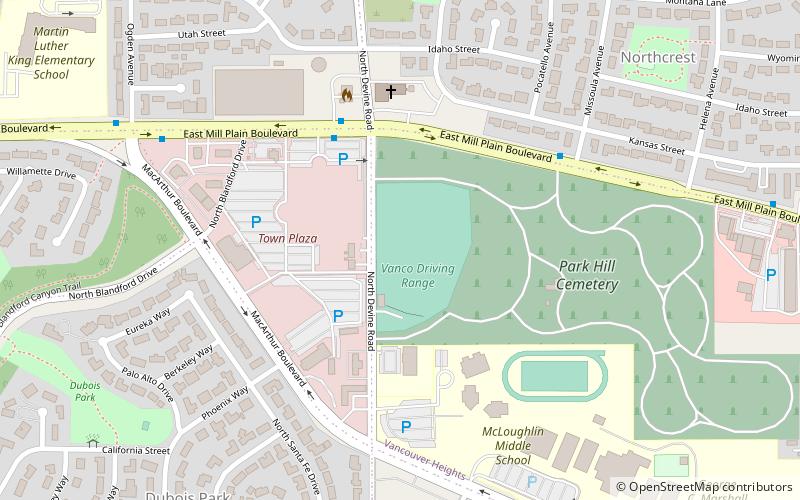
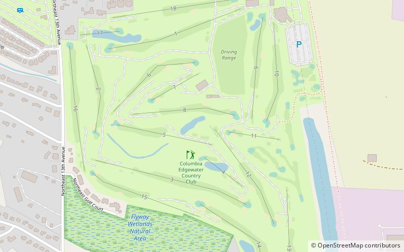
Map
Map
Facts and practical information
Vanco Golf Range (address: 703 N Devine Rd) is a place located in Vancouver (Washington state) and belongs to the category of golf.
It is situated at an altitude of 292 feet, and its geographical coordinates are 45°37'37"N latitude and 122°36'47"W longitude.
Planning a visit to this place, one can easily and conveniently get there by public transportation. Vanco Golf Range is a short distance from the following public transport stations: East Mill Plain Boulevard & Devine Road (bus, 4 min walk).
Among other places and attractions worth visiting in the area are: Water Works Park (park, 46 min walk), Washington State School for the Blind (universities and schools, 47 min walk), O'Connell Sports Center (sport venue, 50 min walk).
Coordinates: 45°37'37"N, 122°36'47"W
Getting there by public transportation
Public transportation stops near this location
- Bus
 Bus
Bus
- Calculate routeEast Mill Plain Boulevard & Devine Road 4 min walk
Maps SkyTrain
SkyTrainDay trips


Frequently Asked Questions (FAQ)
How to get to Vanco Golf Range by public transport?
The nearest stations to Vanco Golf Range:
Bus
Bus
- East Mill Plain Boulevard & Devine Road • Lines: 37 (4 min walk)