Minneapolis–Saint Paul, Minneapolis
Map
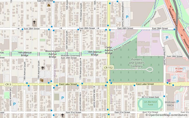
Map

Facts and practical information
Minneapolis–Saint Paul is a metropolitan area located around the confluence of the Mississippi, Minnesota and St. Croix rivers in the U.S. state of Minnesota. It is commonly known as the Twin Cities after the metro’s two largest cities, Minneapolis and Saint Paul. Minnesotans often refer to the two together simply as "the cities". It has the second largest economy in the Midwest. ()
Alternative names: Maximum elevation: 1376 ftMinimal elevation: 660 ftCoordinates: 44°57'0"N, 93°14'55"W
Address
Phillips (East Phillips)Minneapolis
ContactAdd
Social media
Add
Day trips
Minneapolis–Saint Paul – popular in the area (distance from the attraction)
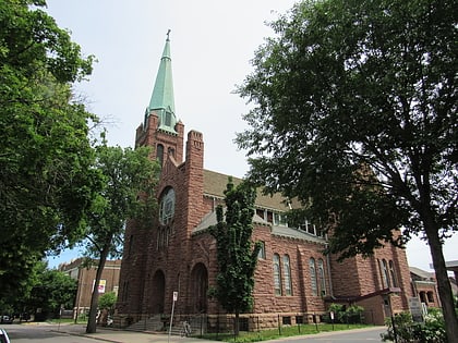
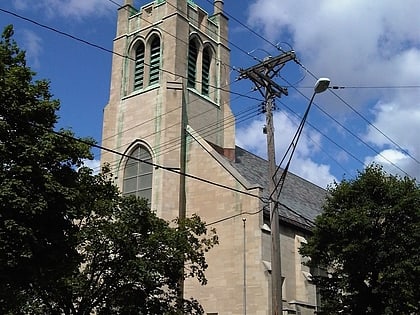
Nearby attractions include: Midtown Global Market, American Swedish Institute, Midtown Farmers' Market, Church of Saint Stephen.
Frequently Asked Questions (FAQ)
Which popular attractions are close to Minneapolis–Saint Paul?
Nearby attractions include Friends of the Cemetery, Minneapolis (5 min walk), Somali Museum of Minnesota, Minneapolis (6 min walk), East Phillips, Minneapolis (7 min walk), In the Heart of the Beast Puppet and Mask Theatre, Minneapolis (7 min walk).
How to get to Minneapolis–Saint Paul by public transport?
The nearest stations to Minneapolis–Saint Paul:
Light rail
Bus
Light rail
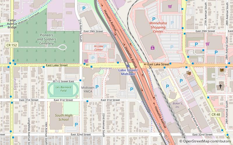
- Lake Street/Midtown • Lines: 901 (13 min walk)
- Franklin Avenue • Lines: 901 (23 min walk)
Bus
- Franklin Station • Lines: 2, 2A, 2C, 67, 67C (23 min walk)
- 16 Av S • Lines: 2A, 2C (23 min walk)


