Kent Peak, Salmon–Challis National Forest
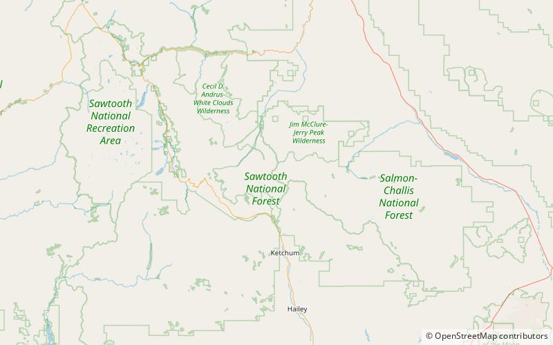
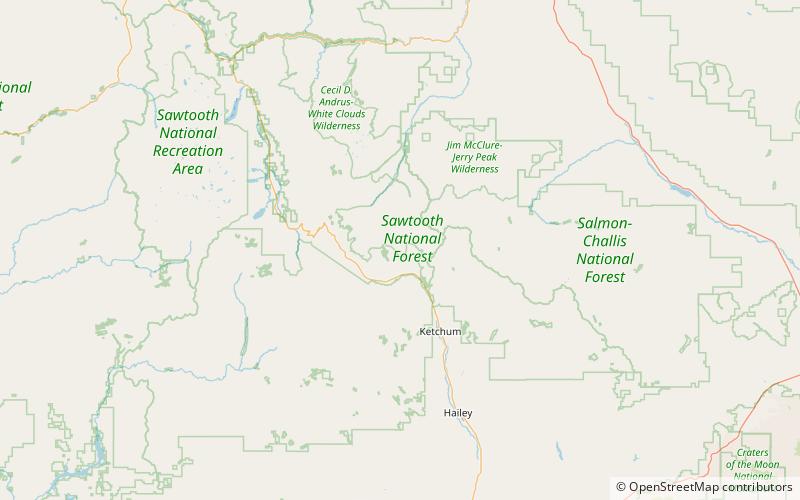
Map
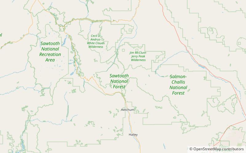
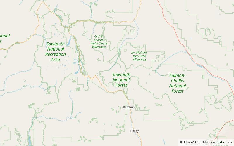
Map

Facts and practical information
Kent Peak, at 11,664 feet above sea level is the second highest peak in the Boulder Mountains of Idaho. Located on the border of Blaine and Custer counties, Kent Peak is about 0.75 miles south of the range's highest point, Ryan Peak. The peak is also on the border of Sawtooth National Recreation Area and Salmon-Challis National Forest and partially within the Hemingway–Boulders Wilderness. It is the 34th highest peak in Idaho. ()
Elevation: 11664 ftProminence: 584 ftCoordinates: 43°53'45"N, 114°24'18"W
Address
Salmon–Challis National Forest
ContactAdd
Social media
Add
Day trips
Kent Peak – popular in the area (distance from the attraction)
Nearby attractions include: Ryan Peak, North Fork Lake, Glassford Peak, South Amber Lake.
Frequently Asked Questions (FAQ)
Which popular attractions are close to Kent Peak?
Nearby attractions include Boulder Mountains, Hemingway–Boulders Wilderness (13 min walk), Ryan Peak, Hemingway–Boulders Wilderness (13 min walk).


