Wyoming Peak, Bridger–Teton National Forest

Gallery (1)
Map
Map
Facts and practical information
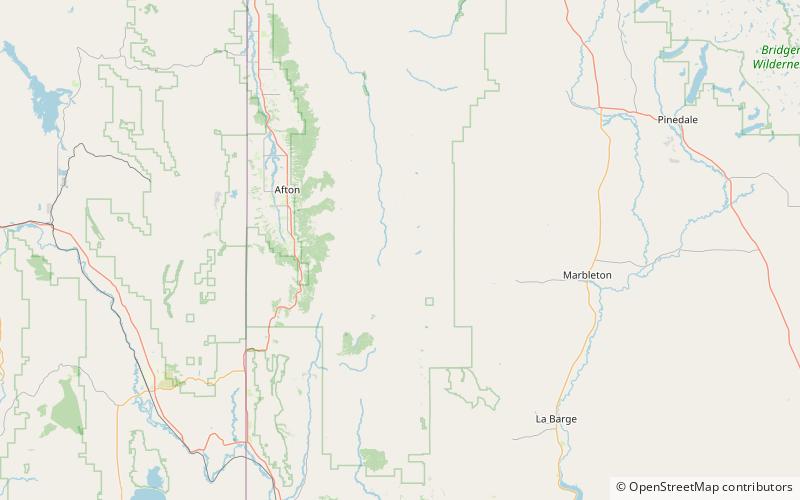
Wyoming Peak is the tallest mountain in the Wyoming Range in the U.S. state of Wyoming. Situated in Bridger-Teton National Forest, a now collapsed fire lookout is located on the summit. Wyoming Peak is.75 miles south-southeast of Coffin Peak, the second highest peak in the Wyoming Range. ()
Address
Bridger–Teton National Forest
ContactAdd
Social media
Add