Moores Creek Bridge, Fort Pierce
Map

Map

Facts and practical information
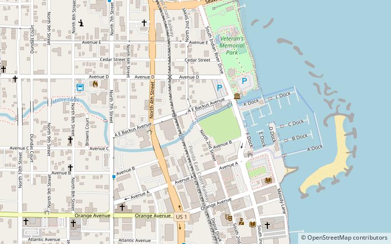
Moores Creek Bridge is an historic single span reinforced concrete bridge located on North 2nd Street between Avenues B and C in Fort Pierce, Florida. Including run up, it is 46 feet long. It is known locally as the Tickle Tummy Bridge or Tickle Tummy Hill because of its high arch relative to its short length. On August 17, 2001, it was added to the U.S. National Register of Historic Places. ()
Built: 1925 (101 years ago)Coordinates: 27°27'2"N, 80°19'31"W
Address
Fort Pierce (Downtown Fort Pierce)Fort Pierce
ContactAdd
Social media
Add
Day trips
Moores Creek Bridge – popular in the area (distance from the attraction)
Nearby attractions include: Sunrise Theatre, A. E. Backus Gallery & Museum, Old Fort Pierce City Hall, Boston House.
Frequently Asked Questions (FAQ)
Which popular attractions are close to Moores Creek Bridge?
Nearby attractions include Manatee Observation and Education Center, Fort Pierce (4 min walk), A. E. Backus Gallery & Museum, Fort Pierce (4 min walk), Old Fort Pierce City Hall, Fort Pierce (6 min walk), Sunrise Theatre, Fort Pierce (7 min walk).
How to get to Moores Creek Bridge by public transport?
The nearest stations to Moores Creek Bridge:
Bus
Bus
- Benton Building • Lines: 1 (4 min walk)
- North 7th Street & Avenue B • Lines: 3 (7 min walk)


