Rockland Breakwater, Rockland
Map
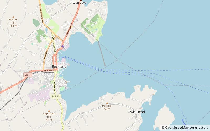
Map

Facts and practical information
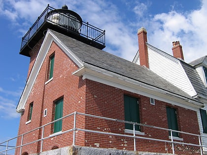
The Rockland Breakwater is a breakwater sheltering the harbor of Rockland, Maine. More than 4,000 feet long, it was built in the 1890s by the United States Army Corps of Engineers out of locally quarried granite to improve the harbor's ability to shelter ships from coastal storms. It was listed on the National Register of Historic Places in 2003. ()
Built: 1880 (146 years ago)Coordinates: 44°6'15"N, 69°4'39"W
Day trips
Rockland Breakwater – popular in the area (distance from the attraction)
Nearby attractions include: Owls Head Light, Rockland Residential Historic District, Farnsworth Art Museum, Maine Lighthouse Museum.


