Mormon Bridge, Omaha
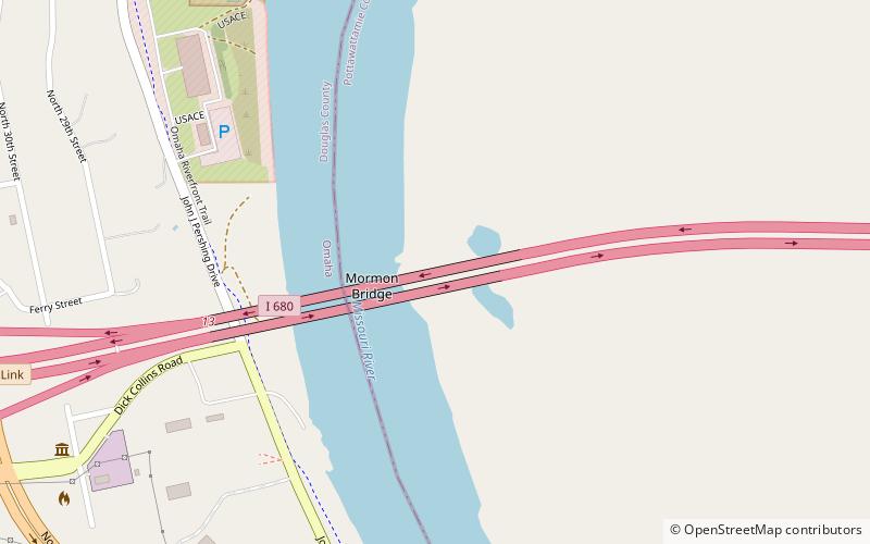
Map

Map

Facts and practical information
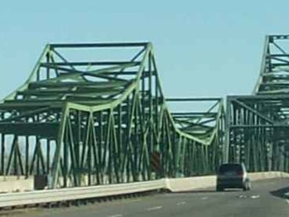
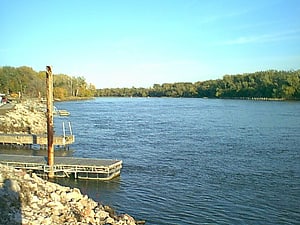
The Mormon Bridge is a bridge composed of two cantilevers that crosses the Missouri River connecting Pottawattamie County, Iowa with the Florence neighborhood of Omaha, Nebraska via Interstate 680. The bridge is officially called the Mormon Pioneer Memorial Bridge due to its location on the historic Mormon Trail, which passed nearby. ()
Opened: 1952 (74 years ago)Length: 1603 ftCoordinates: 41°20'46"N, 95°57'19"W
Day trips
Mormon Bridge – popular in the area (distance from the attraction)
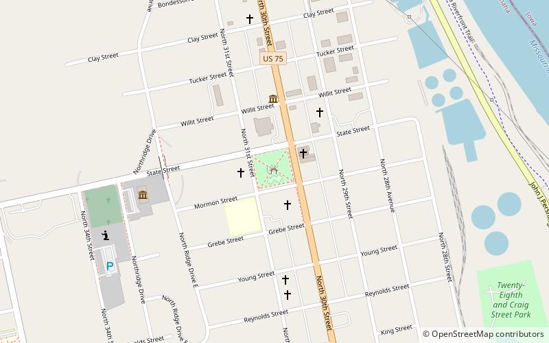
Nearby attractions include: Mormon Trail Center at Historic Winter Quarters, Florence Mill, Mormon Pioneer Cemetery, Dodge Park.
Frequently Asked Questions (FAQ)
Which popular attractions are close to Mormon Bridge?
Nearby attractions include Florence Mill, Omaha (6 min walk), General Crook House, Omaha (17 min walk), Bank of Florence Museum, Omaha (18 min walk), Florence Park, Omaha (20 min walk).


