Arrowrock Dam, Boise National Forest
Map

Gallery

Facts and practical information
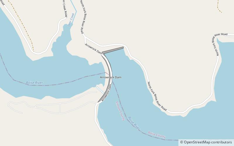
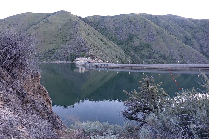
Arrowrock Dam is a concrete arch dam on the Boise River, in the U.S. state of Idaho. It opened in 1915 and is located on the border between Boise County and Elmore County, upstream of the Lucky Peak Dam and reservoir. The spillway elevation for Arrowrock is 3,219 feet above sea level and its primary purpose is to provide irrigation water for agriculture. The dam was designated as a National Historic Civil Engineering Landmark by the American Society of Civil Engineers in 2016. ()
Alternative names: Opened: 1915 (111 years ago)Length: 1150 ftHeight: 350 ftReservoir area: 4.84 mi²Elevation: 3209 ft a.s.l.Coordinates: 43°35'44"N, 115°55'19"W
Address
Boise National Forest
ContactAdd
Social media
Add
