Mine Creek Battlefield State Historic Site, Pleasanton

Gallery (1)
Map
Map
Facts and practical information
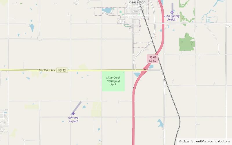
Mine Creek Battlefield State Historic Site (address: 20485 K 52) is a place located in Pleasanton (Kansas state) and belongs to the category of historical place, battlefield, park.
It is situated at an altitude of 856 feet, and its geographical coordinates are 38°8'42"N latitude and 94°43'25"W longitude.
Among other places and attractions worth visiting in the area are: Marais des Cygnes National Wildlife Refuge (national park, 173 min walk).
Elevation: 856 ft a.s.l.Coordinates: 38°8'42"N, 94°43'25"W
Day trips
Mine Creek Battlefield State Historic Site – popular in the area (distance from the attraction)
Nearby attractions include: Marais des Cygnes National Wildlife Refuge.
