Dilworth, Charlotte
Map

Map

Facts and practical information
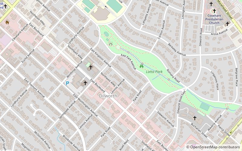
Dilworth is a neighborhood of Charlotte, Mecklenburg County, North Carolina, United States. The neighborhood was Charlotte's first streetcar suburb and was established by Edward Dilworth Latta in the 1890s on 250 acres southwest of the original city limits. It included the Joseph Forsyth Johnson designed Latta Park. Planned largely with a grid pattern similar to the city's original four wards, Dilworth was initially designated the Eighth Ward. ()
Coordinates: 35°12'28"N, 80°50'60"W
Address
Center City (Dilworth)Charlotte
ContactAdd
Social media
Add
Day trips
Dilworth – popular in the area (distance from the attraction)
Nearby attractions include: Spectrum Center, Bank of America Stadium, Harvey B. Gantt Center, Bechtler Museum of Modern Art.
Frequently Asked Questions (FAQ)
Which popular attractions are close to Dilworth?
Nearby attractions include Latta Park, Charlotte (3 min walk), Cathedral of Saint Patrick, Charlotte (8 min walk), Covenant Presbyterian Church, Charlotte (12 min walk), Lark & Key Gallery and Boutique, Charlotte (15 min walk).
How to get to Dilworth by public transport?
The nearest stations to Dilworth:
Light rail
Bus
Tram
Light rail
- East/West Boulevard • Lines: Blue (16 min walk)
- Bland Street • Lines: Blue (16 min walk)
Bus
- South College Street at East Stonewall Street • Lines: 35 (26 min walk)
- East Stonewall Street at South College Street • Lines: 35 (27 min walk)
Tram
- McDowell Street • Lines: Gold (31 min walk)
- Davidson Street • Lines: Gold (32 min walk)


