Moxie Falls, The Forks
Map

Map

Facts and practical information
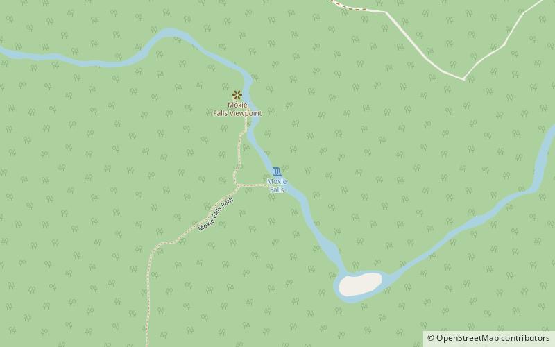
Moxie Falls is a waterfall in Somerset County, Maine. At a vertical drop of over 90 feet into a pool about 17 feet deep, Moxie Falls is one of the highest falls in New England. The falls are part of Moxie Stream which flows from Moxie Pond into the Kennebec River approximately 1 kilometer downstream the falls. Moxie Stream drains Moxie Pond approximately 5 miles upstream of the falls. ()
Length: 7.5 miElevation: 768 ft a.s.l.Coordinates: 45°21'45"N, 69°56'13"W
Address
Lake Moxie RoadThe Forks
ContactAdd
Social media
Add
