Port of Vancouver USA, Vancouver
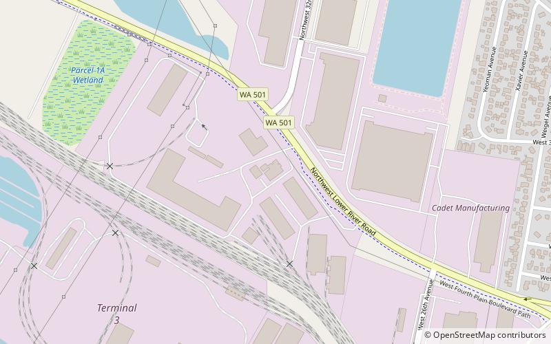
Map
Facts and practical information
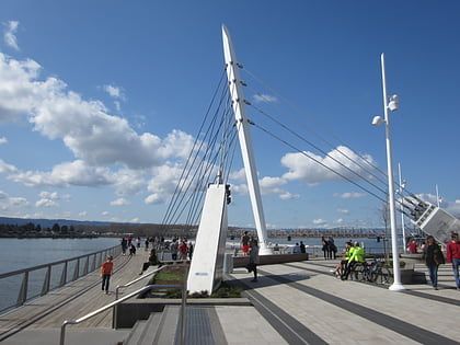
The Port of Vancouver USA, founded in 1912, is a deep-water port located in Vancouver, Washington along the Columbia River. The port contains five terminals, along with two of the largest mobile harbor cranes in North America which are typically used to unload wind energy equipment. ()
Opened: 1912 (114 years ago)Coordinates: 45°38'36"N, 122°42'14"W
Day trips
Port of Vancouver USA – popular in the area (distance from the attraction)
Nearby attractions include: Portland Expo Center, Jantzen Beach Center, Veterans of Foreign Wars Memorial Plaza, Salmon Run Bell Tower.
Frequently Asked Questions (FAQ)
How to get to Port of Vancouver USA by public transport?
The nearest stations to Port of Vancouver USA:
Bus
Train
Bus
- Fruit Valley Road & 31st Street • Lines: 25 (14 min walk)
Train
- Vancouver (34 min walk)
 SkyTrain


