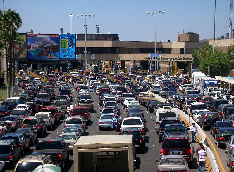
San Ysidro, San Diego
Map

Gallery

Facts and practical information
San Ysidro is a district of the City of San Diego, immediately north of the U.S.-Mexico border. It neighbors Otay Mesa West to the north, Otay Mesa to the east, and Nestor and the Tijuana River Valley to the west; together these communities form South San Diego, a practical exclave of the City of San Diego. Major thoroughfares include Beyer Boulevard and San Ysidro Boulevard. ()
Address
Southern San Diego (San Ysidro)San Diego
ContactAdd
Social media
Add
Day trips
San Ysidro – popular in the area (distance from the attraction)
Nearby attractions include: Las Americas Premium Outlets, San Ysidro Port of Entry, The Plaza at the Border, New Balance Factory Store.
Frequently Asked Questions (FAQ)
How to get to San Ysidro by public transport?
The nearest stations to San Ysidro:
Light rail
Bus
Train
Light rail
- Beyer Boulevard • Lines: 510 (12 min walk)
- San Ysidro • Lines: 510 (25 min walk)
Bus
- El Corre Caminos Bus Station (19 min walk)
- Mexicoach Bus Station (19 min walk)
Train
- Estacion Tijuana (30 min walk)


