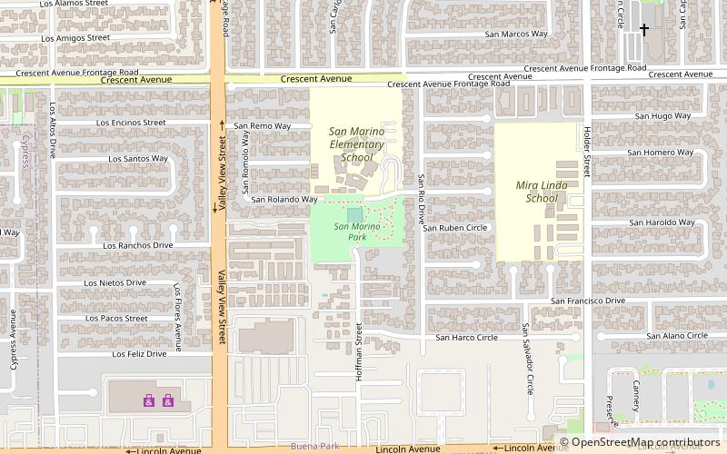
San Marino Elementary, Buena Park
Map

Map

Facts and practical information
San Marino Elementary (address: 6215 San Rolando Way) is a place located in Buena Park (California state) and belongs to the category of relax in park, park.
It is situated at an altitude of 56 feet, and its geographical coordinates are 33°50'10"N latitude and 118°1'30"W longitude.
Among other places and attractions worth visiting in the area are: Buena Park Raceway (game and entertainment center, 7 min walk), Cypress (city, 34 min walk), Pony Express Roller Coaster (amusement, 38 min walk).
Elevation: 56 ft a.s.l.Coordinates: 33°50'10"N, 118°1'30"W
Day trips
San Marino Elementary – popular in the area (distance from the attraction)
Nearby attractions include: Knott's Berry Farm, Knott's Soak City, Silver Bullet Roller Coaster, Xcelerator.


