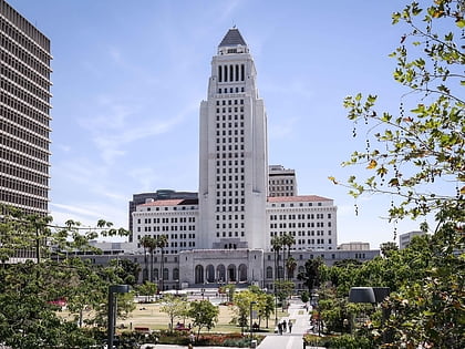
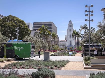
Civic Center, Los Angeles
Map
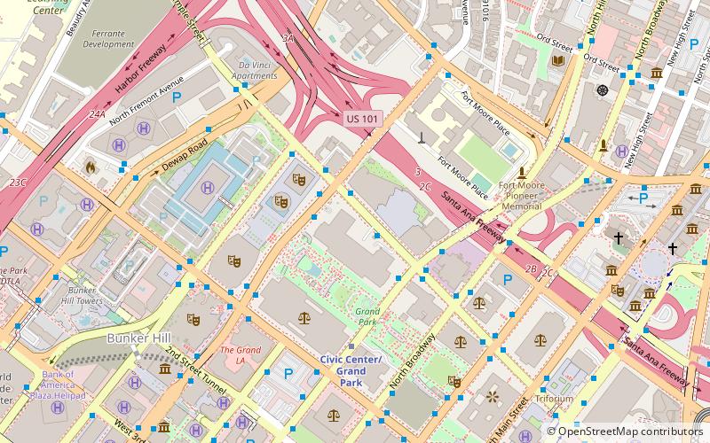
Map

Facts and practical information
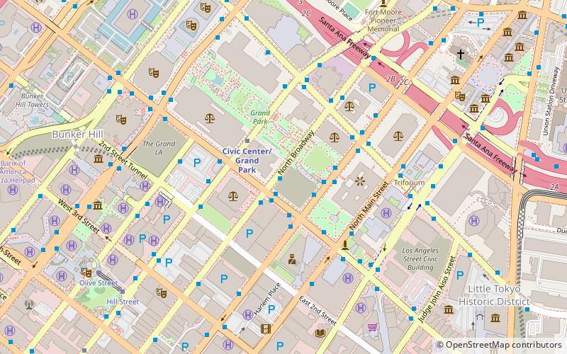
Civic Center is a neighborhood in Houston. It is located on the northwest part of Downtown, north of the Skyline District and southwest of Theater District. It is notable for being the home to the Houston City Hall, City Hall Annex, Hermann Square, Bob Casey United States Court House, Sam Houston Park, and both the Jesse. H. Jones Building and Julia Ideson Building of the Houston Public Library. ()
Coordinates: 34°3'27"N, 118°14'46"W
Address
Central Los Angeles (Downtown Los Angeles)Los Angeles
ContactAdd
Social media
Add
Day trips
Civic Center – popular in the area (distance from the attraction)
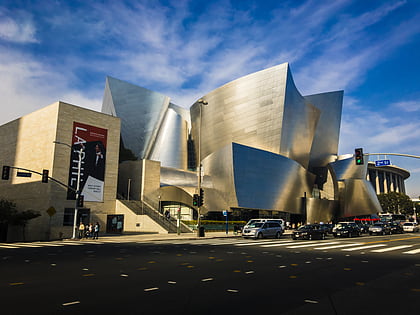
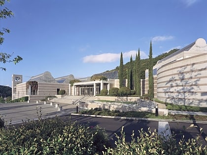
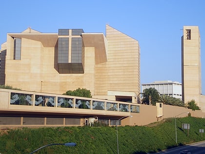
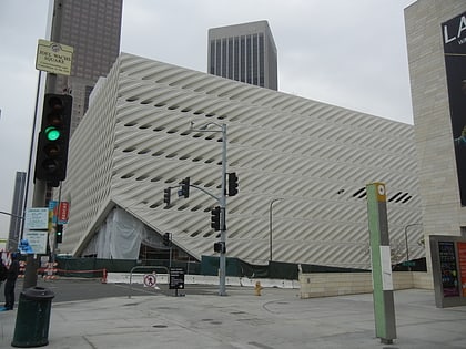
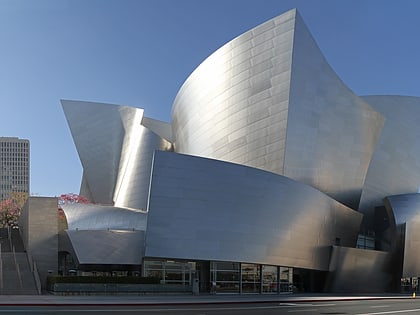
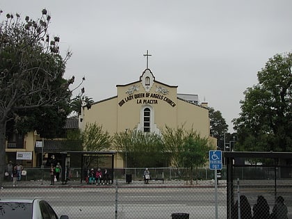
Nearby attractions include: Children's Museum of Los Angeles, Walt Disney Concert Hall, Skirball Cultural Center, Cathedral of Our Lady of the Angels.
Frequently Asked Questions (FAQ)
Which popular attractions are close to Civic Center?
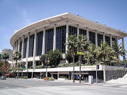
Nearby attractions include Kenneth Hahn Hall of Administration, Los Angeles (2 min walk), Cathedral of Our Lady of the Angels, Los Angeles (2 min walk), Los Angeles Music Center, Los Angeles (2 min walk), Ahmanson Theatre, Los Angeles (3 min walk).
How to get to Civic Center by public transport?
The nearest stations to Civic Center:
Bus
Metro
Light rail
Train
Bus
- Temple & Grand • Lines: 10 (1 min walk)
- Hill & Temple • Lines: 10 (3 min walk)
Metro
- Civic Center/Grand Park • Lines: B, D (5 min walk)
- Pershing Square • Lines: B, D (16 min walk)
Light rail
- Union Station • Lines: L (17 min walk)
- Chinatown • Lines: L (19 min walk)
Train
- Los Angeles Union Station (18 min walk)

 Metro & Regional Rail