Myrtle Edwards Park, Seattle
Map
Map

Facts and practical information
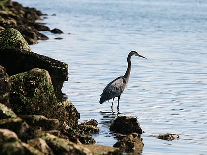
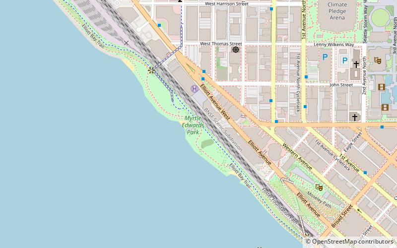
Myrtle Edwards Park in Seattle, Washington is a 4.8-acre public park along the Elliott Bay waterfront north of Belltown. It features a 1.25-mile long bicycle and walking path and is a good place to see eagles, gulls, and crows. ()
Elevation: 10 ft a.s.l.Coordinates: 47°37'7"N, 122°21'36"W
Day trips
Myrtle Edwards Park – popular in the area (distance from the attraction)
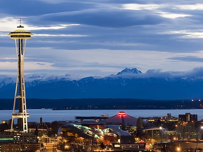
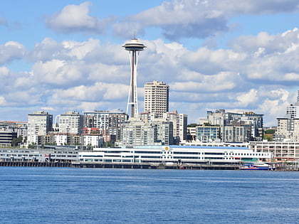
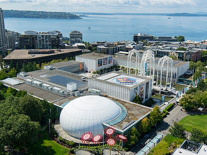
Nearby attractions include: Seattle Center, Space Needle, Museum of Pop Culture, Pacific Science Center.
Frequently Asked Questions (FAQ)
When is Myrtle Edwards Park open?
Myrtle Edwards Park is open:
- Monday 24h
- Tuesday 24h
- Wednesday 24h
- Thursday 24h
- Friday 24h
- Saturday 24h
- Sunday 24h
Which popular attractions are close to Myrtle Edwards Park?
Nearby attractions include Olympic Sculpture Park, Seattle (7 min walk), First Church, Seattle (9 min walk), Neukom Vivarium, Seattle (9 min walk), Father and Son, Seattle (9 min walk).
How to get to Myrtle Edwards Park by public transport?
The nearest stations to Myrtle Edwards Park:
Bus
Ferry
Train
Trolleybus
Tram
Light rail
Bus
- Western Ave W & Elliott Ave W • Lines: 19, 24, 33 (3 min walk)
- Queen Anne Ave N & W John St • Lines: 2, 8, D (4 min walk)
Ferry
- Seattle • Lines: Seattle-Bremerton, Seattle-Victoria, Seattle-Winslow (38 min walk)
- Seattle Waterfront • Lines: Seattle-Blake Island (33 min walk)
Train
- Seattle Center (14 min walk)
- Westlake Center (30 min walk)
Trolleybus
- 3rd Ave & Virginia St • Lines: 1, 13, 2, 3, 4 (25 min walk)
- 3rd Ave & Seneca St • Lines: 1, 13, 3, 4, 49 (37 min walk)
Tram
- Westlake & Denny • Lines: South Lake Union Streetcar (26 min walk)
Light rail
- Westlake • Lines: 1 (31 min walk)
- University Street • Lines: 1 (35 min walk)
