Au Sable Light, Pictured Rocks National Lakeshore

Gallery (1)
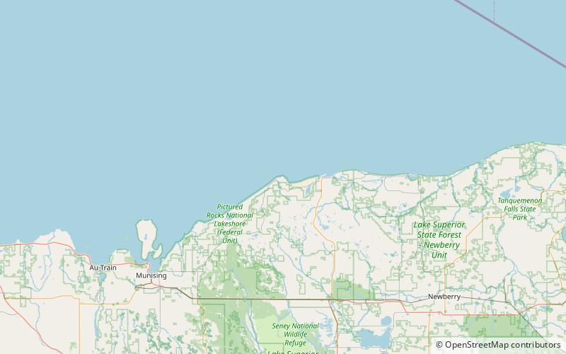
Map
Map
Facts and practical information
Au Sable Light is an active lighthouse in the Pictured Rocks National Lakeshore west of Grand Marais, Michigan off H-58. Until 1910, this aid to navigation was called "Big Sable Light". ()
Coordinates: 46°40'22"N, 86°8'22"W
Day trips

