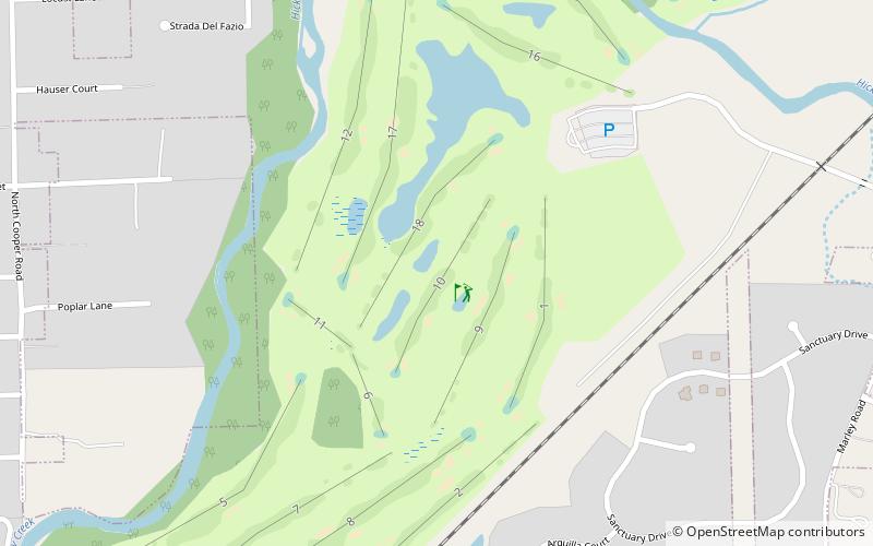
The Sanctuary Golf Course, New Lenox
Map

Map

Facts and practical information
The Sanctuary Golf Course (address: 485 N Marley Rd) is a place located in New Lenox (Illinois state) and belongs to the category of golf.
It is situated at an altitude of 627 feet, and its geographical coordinates are 41°31'18"N latitude and 87°57'10"W longitude.
Among other places and attractions worth visiting in the area are: Frankfort (village, 139 min walk), Mokena (village, 140 min walk), Chicagoland Speedway, Joliet (sport venue, 161 min walk).
Coordinates: 41°31'18"N, 87°57'10"W
Day trips
The Sanctuary Golf Course – popular in the area (distance from the attraction)
Nearby attractions include: Gaylord Building, Lincoln Landing, Mokena, Will County Historical Society Headquarters.


