Wabash Cannonball Trail, Toledo
Map

Gallery

Facts and practical information
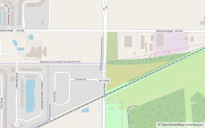
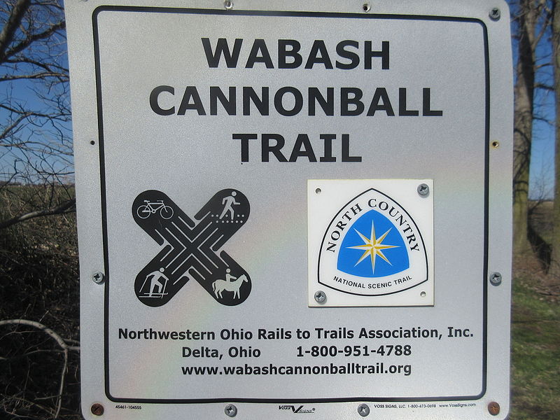
The Wabash Cannonball Trail is a rail to trail conversion in northwestern Ohio, U.S. It is 63 miles long. The North Fork of the Wabash Cannonball Trail is part of the North Coast Inland Trail, which plans to fully connect Indiana to Pennsylvania, and portions of the trail are included in the North Country National Scenic Trail. ()
Maximum elevation: 879 ftMinimal elevation: 640 ftCoordinates: 41°33'24"N, 83°41'58"W
Day trips
Wabash Cannonball Trail – popular in the area (distance from the attraction)
Nearby attractions include: The Shops at Fallen Timbers, Fort Meigs, Lucas County Recreation Center, First Presbyterian Church of Maumee.


