Hudson River Way, Albany
Map

Gallery

Facts and practical information
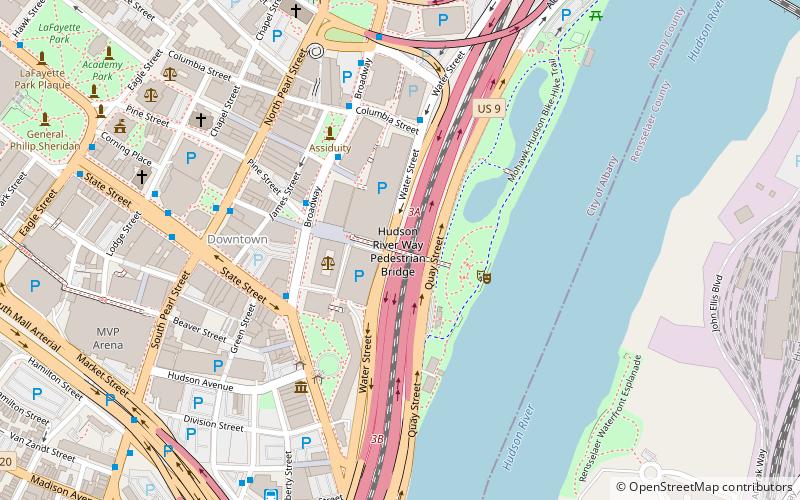
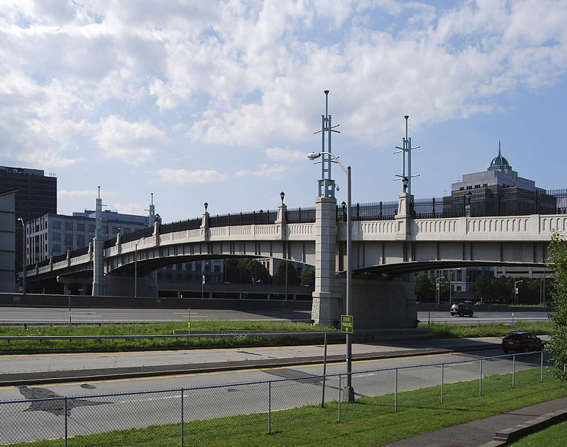
The Hudson River Way is a 2002 pedestrian bridge that links Broadway in downtown Albany, New York with the Corning Preserve on the bank of the Hudson River. The bridge crosses Interstate 787. ()
Coordinates: 42°38'59"N, 73°44'55"W
Address
Downtown AlbanyAlbany
ContactAdd
Social media
Add
Day trips
Hudson River Way – popular in the area (distance from the attraction)
Nearby attractions include: Times Union Center, Statue of Philip Schuyler, The Egg Building, Albany City Hall.
Frequently Asked Questions (FAQ)
Which popular attractions are close to Hudson River Way?
Nearby attractions include Old Post Office, Albany (3 min walk), SUNY System Administration Building, Albany (4 min walk), Tricentennial Park, Albany (4 min walk), First Trust Company Building, Albany (4 min walk).
How to get to Hudson River Way by public transport?
The nearest stations to Hudson River Way:
Bus
Train
Bus
- Broadway & Peter D Kiernan Plaza • Lines: 224, 540 (4 min walk)
- Broadway • Lines: 905 (5 min walk)
Train
- Albany-Rensselaer (18 min walk)


