Browning Hill, Hoosier National Forest
Map

Map

Facts and practical information
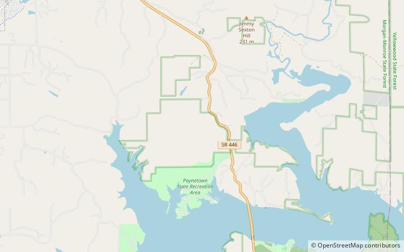
Browning Hill, known locally as Browning Mountain, is, at 928 feet tall, the 53rd highest peak in Indiana. Located in Brown County, near the town of Story, the hill is partly in Hoosier National Forest, and is designated a special management area by the United States Forest Service due to the "relatively undisturbed" old-growth forest that covers it. ()
Coordinates: 39°5'60"N, 86°25'60"W
Address
Hoosier National Forest
ContactAdd
Social media
Add
Day trips
Browning Hill – popular in the area (distance from the attraction)
Nearby attractions include: College Mall, Indiana University Art Museum, Archives of Traditional Music, Sanshin Zen Community.


