Westgate Tower, Austin
Map

Map

Facts and practical information
The Westgate Tower is a mixed-use high-rise building in downtown Austin, Texas. The twenty-six-story 261-foot tower block was designed in 1962 and completed in 1966; its name reflects its location across the street from the west gate of the Texas State Capitol. Designed by architect Edward Durell Stone, the tower was added to the National Register of Historic Places in 2010 and designated a Recorded Texas Historic Landmark in 2012. ()
Completed: 1966 (60 years ago)Height: 261 ftFloors: 26Coordinates: 30°16'27"N, 97°44'34"W
Address
Central Austin (Downtown Austin)Austin
ContactAdd
Social media
Add
Day trips
Westgate Tower – popular in the area (distance from the attraction)
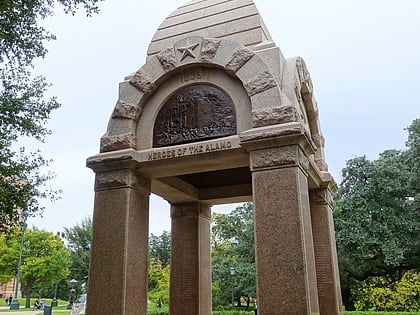
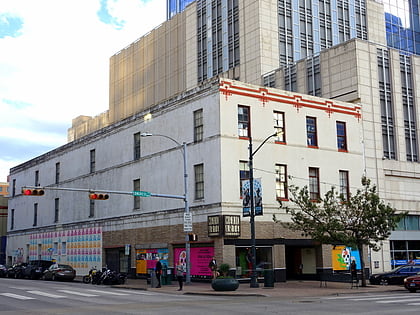
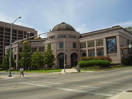
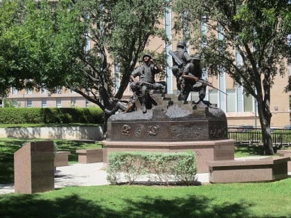
Nearby attractions include: Texas State Capitol, Heroes of the Alamo Monument, Mexic-Arte Museum, Bullock Texas State History Museum.
Frequently Asked Questions (FAQ)
Which popular attractions are close to Westgate Tower?
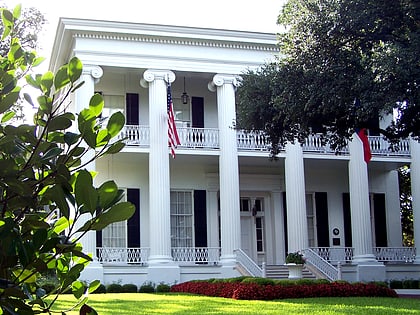
Nearby attractions include Texas Governor's Mansion, Austin (3 min walk), Central Christian Church, Austin (4 min walk), Heroes of the Alamo Monument, Austin (4 min walk), Lundberg Bakery, Austin (4 min walk).
How to get to Westgate Tower by public transport?
The nearest stations to Westgate Tower:
Bus
Train
Bus
- Museum • Lines: 1, 3 (9 min walk)
- Megabus (10 min walk)
Train
- Downtown (18 min walk)
- Austin (23 min walk)

