Coal Creek Historic Mining District, Yukon - Charley Rivers National Preserve

Gallery (1)
Map
Map
Facts and practical information
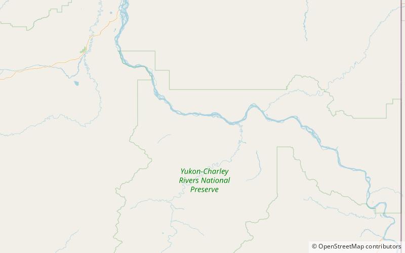
The Coal Creek Historic Mining District is a gold-mining area in the Yukon-Charley Rivers National Preserve of Alaska dating from the 1930s. It features a gold dredge and a supporting community of several dozen buildings, established by mining entrepreneur Ernest Patty. ()
Built: 1933 (93 years ago)Coordinates: 65°18'12"N, 143°9'22"W
Address
Yukon - Charley Rivers National Preserve
ContactAdd
Social media
Add