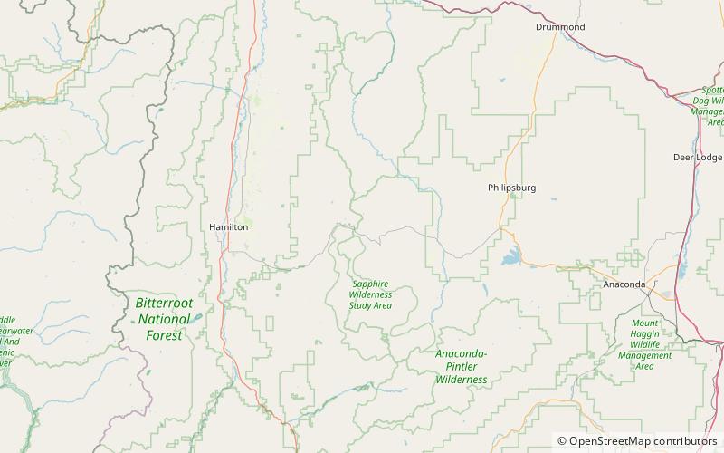
Sapphire Mountains, Beaverhead–Deerlodge National Forest
Map

Map

Facts and practical information
The Sapphire Mountains are a range of mountains located in southwestern Montana in the northwestern United States. From a point near the Clark Fork River and the city of Missoula, they run in a southerly direction for a distance of approximately 60 miles, making up much of the border between Ravalli County and Granite County. To the west is the Bitterroot Valley, and to the east is Rock Creek. The southern end of the range meets the larger Anaconda Range at West Pintler Peak. ()
Maximum elevation: 8999 ftCoordinates: 46°15'0"N, 113°45'0"W
Address
Beaverhead–Deerlodge National Forest
ContactAdd
Social media
Add
