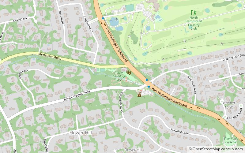
Flower Hill Park, North Hempstead
Map

Map

Facts and practical information
Flower Hill Village Park is a village-owned park in the Incorporated Village of Flower Hill, on Long Island, in the State of New York. It was formerly owned by Nassau County. ()
Elevation: 128 ft a.s.l.Coordinates: 40°48'37"N, 73°40'42"W
Address
500 Stonytown RdGreater Roslyn (Flower Hill)North Hempstead
ContactAdd
Social media
Add
Day trips
Flower Hill Park – popular in the area (distance from the attraction)
Nearby attractions include: Americana Manhasset, Elderfields Preserve, Country Club, Webster Avenue Bridge.
Frequently Asked Questions (FAQ)
Which popular attractions are close to Flower Hill Park?
Nearby attractions include Flower Hill Village Hall, Port Washington North (3 min walk), Sands-Willets Homestead, Port Washington North (10 min walk), Elderfields Preserve, Port Washington North (12 min walk), Temple Beth Israel, Long Island (21 min walk).
How to get to Flower Hill Park by public transport?
The nearest stations to Flower Hill Park:
Train
Train
- Plandome (23 min walk)
- Manhasset (38 min walk)


