Downtown Richmond, Richmond
Map

Map

Facts and practical information
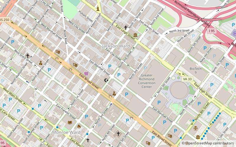
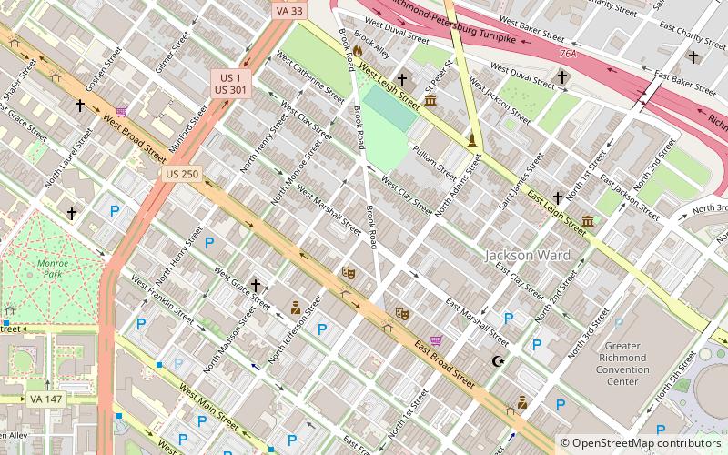
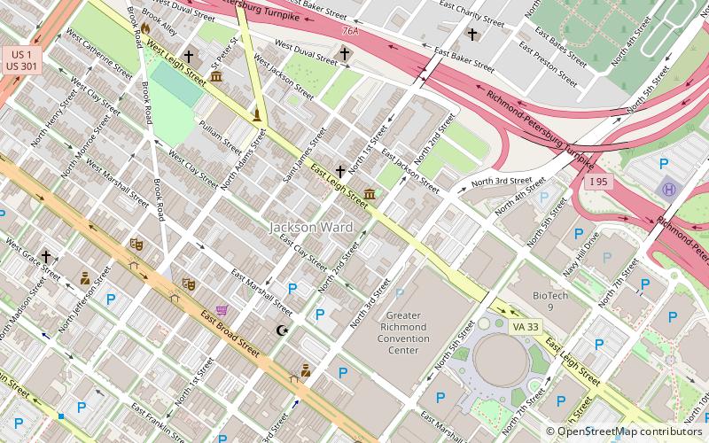
Downtown Richmond is the central business district of Richmond, Virginia. It is generally defined as being bound by Belvidere Street to the west, I-95 to the north and east, and the James River to the south. The Fan district borders it to the west, Highland Park to the north, Church Hill to the east, and Manchester to the south. ()
Coordinates: 37°32'44"N, 77°26'20"W
Address
Downtown Richmond (City Center)Richmond
ContactAdd
Social media
Add
Day trips
Downtown Richmond – popular in the area (distance from the attraction)
Nearby attractions include: Richmond Coliseum, Altria Theater, The National, John Marshall House.
Frequently Asked Questions (FAQ)
Which popular attractions are close to Downtown Richmond?
Nearby attractions include Fraternal Order of Eagles Building, Richmond (3 min walk), Jackson Ward, Richmond (3 min walk), Central National Bank, Richmond (4 min walk), Hippodrome Theater, Richmond (4 min walk).
How to get to Downtown Richmond by public transport?
The nearest stations to Downtown Richmond:
Bus
Train
Bus
- E • Lines: 14, 5 (11 min walk)
- D • Lines: 2A, 2C (11 min walk)
Train
- Richmond Main Street (24 min walk)


