Mahoney Butte, Sawtooth National Forest

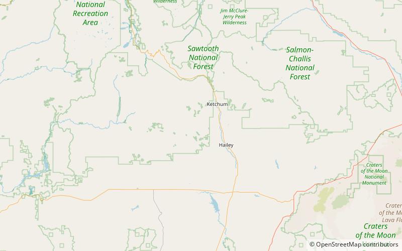
Map
Facts and practical information
Mahoney Butte, at 7,904 feet above sea level is a peak in the Smoky Mountains of Idaho. The peak is located in Sawtooth National Forest in Blaine County. It is located in the watershed of Greenhorn Creek, a tributary of the Big Wood River. It is about 4.6 mi southwest of Bald Mountain. No roads or trails go to the summit, although the peak is most easily accessed from trails at the end of road 117. ()
Elevation: 7904 ftProminence: 484 ftCoordinates: 43°35'49"N, 114°27'14"W
Address
Sawtooth National Forest
ContactAdd
Social media
Add
Day trips
Mahoney Butte – popular in the area (distance from the attraction)
Nearby attractions include: Ketchum Sun Valley Historical Society Heritage & Ski Museum, Bald Mountain, Sawtooth Botanical Garden.


