Anchor Yacht Basin, Mayo

Gallery (1)
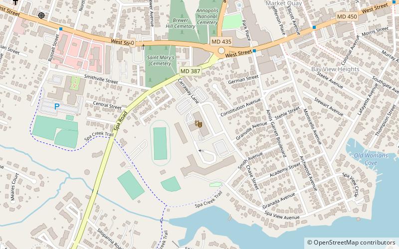
Map

Map
Facts and practical information
Anchor Yacht Basin is a place located in Mayo (Maryland state) and belongs to the category of sailing, marina.
It is situated at an altitude of 0 feet, and its geographical coordinates are 38°54'7"N latitude and 76°30'34"W longitude.
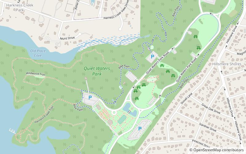
Among other places and attractions worth visiting in the area are: Quiet Waters Park, Annapolis (park, 67 min walk), Thomas Point Shoal Light, Annapolis (lighthouse, 101 min walk), Liberty Marina, Annapolis (sailing, 107 min walk).
Coordinates: 38°54'7"N, 76°30'34"W
Day trips