Sierrita Mountains
Map

Gallery

Facts and practical information
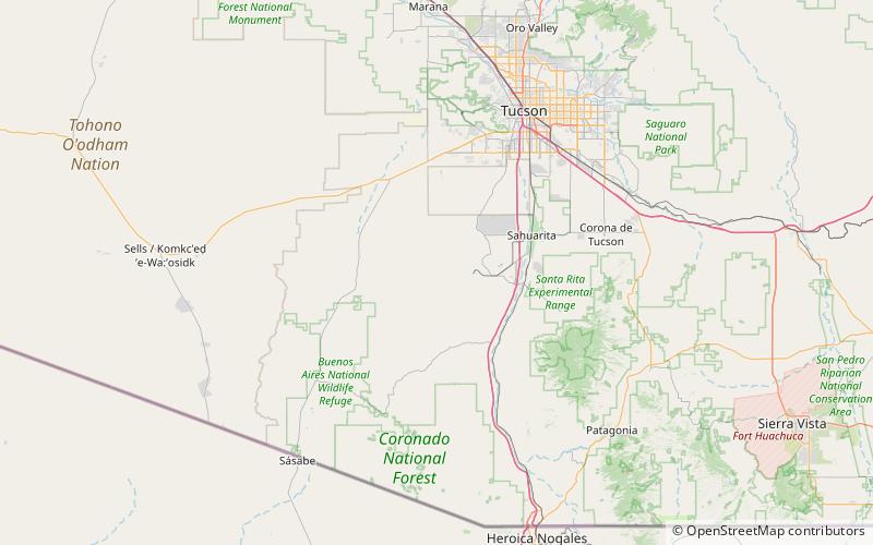
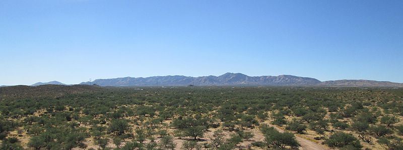
The Sierrita Mountains is a minor mountain range about forty miles southwest of Tucson, in Pima County, Arizona. Historically, the area has seen extensive mining and ranching activity: several ranches, abandoned mines, and the large Sierrita Mine are located in the area. The highest point in the mountains is Keystone Peak, which rises to 6,188 feet. ()
Maximum elevation: 6188 ftCoordinates: 31°52'40"N, 111°11'42"W
Location
Arizona
ContactAdd
Social media
Add
