Bromaghin Peak, Sawtooth National Forest
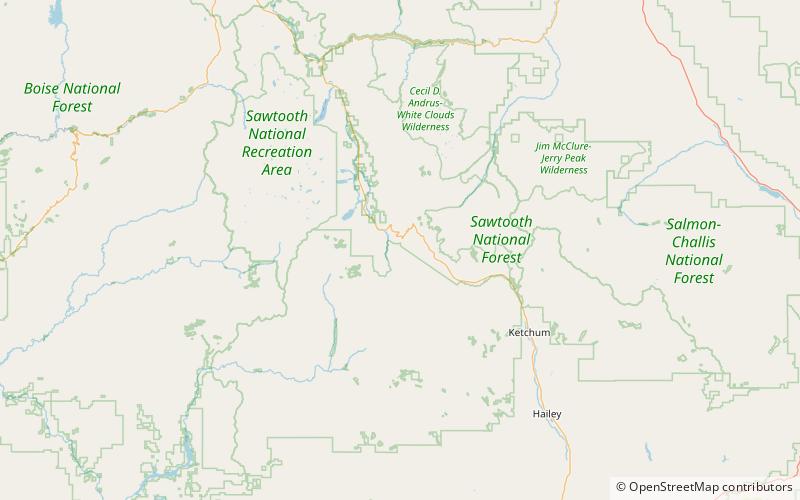
Map
Facts and practical information
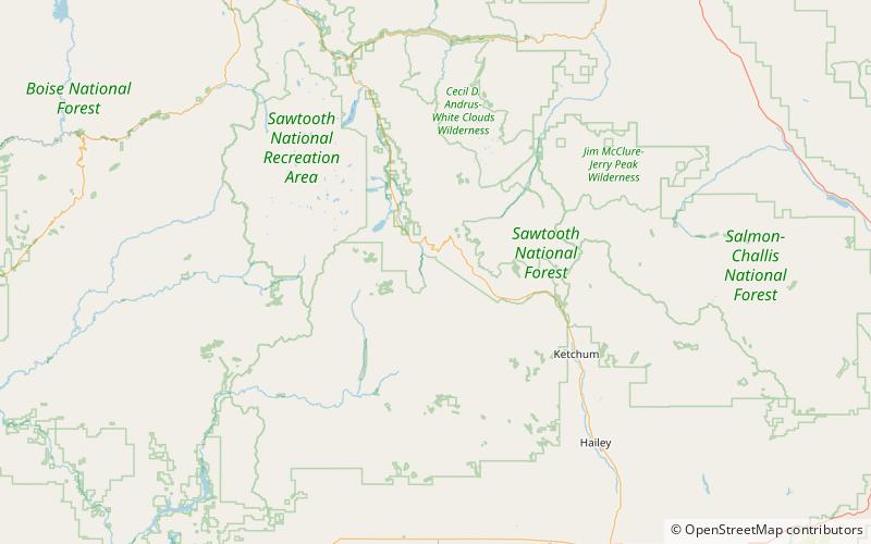
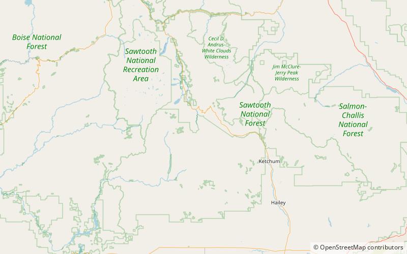
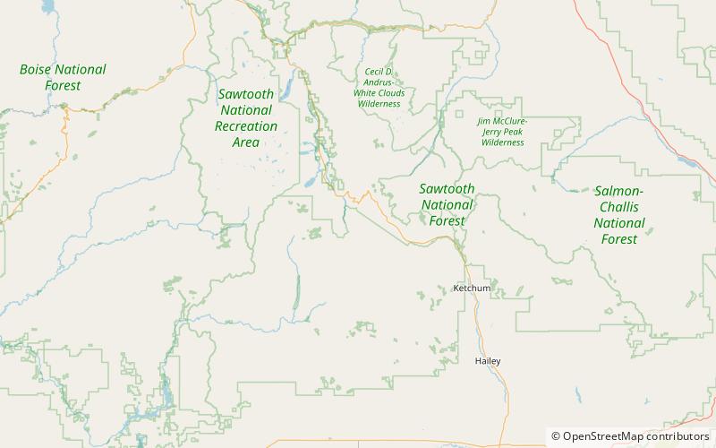
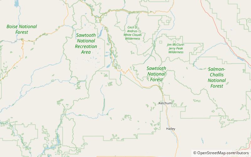
Bromaghin Peak, at 10,225 feet above sea level is the fourth highest peak in the Smoky Mountains of Idaho. The peak is in Sawtooth National Recreation Area about 0.6 miles north-northwest of the range's highest point, Saviers Peak. The peak is named for Captain Ralph Bromaghin, who was a member of the 10th Mountain Division and a Sun Valley ski instructor who died in World War II. ()
Elevation: 10225 ftProminence: 185 ftCoordinates: 43°49'50"N, 114°43'8"W
Address
Sawtooth National Forest
ContactAdd
Social media
Add
Day trips

Frequently Asked Questions (FAQ)
Which popular attractions are close to Bromaghin Peak?
Nearby attractions include Dollarhide Mountain, Sawtooth National Forest (15 min walk), Titus Peak, Sawtooth National Forest (15 min walk), Saviers Peak, Sawtooth National Forest (17 min walk), Smoky Mountains, Sawtooth National Forest (17 min walk).