The Tides, Miami Beach
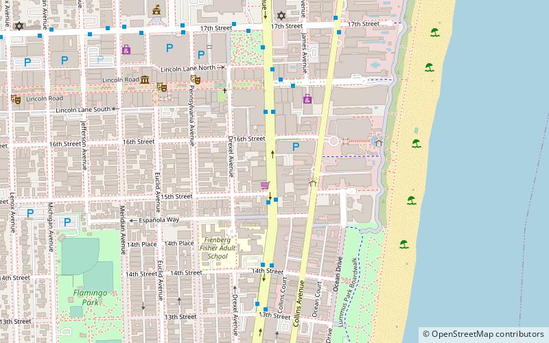
Map
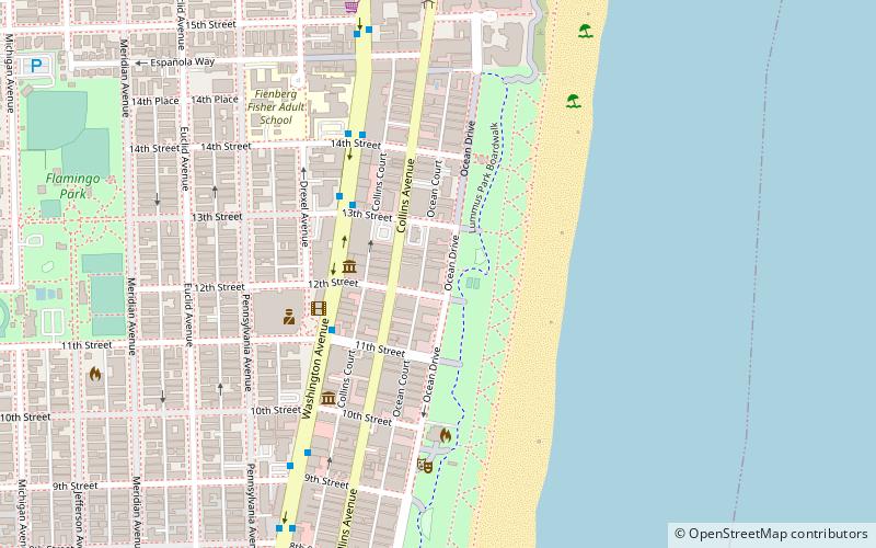
Map

Facts and practical information
The Tides is a building in Miami Beach. As a 49-meter building in 1936, it was the tallest in the city and one of the tallest in the state of Florida. The building was renovated in 1997, and is currently a residential condominium. and luxury hotel. ()
Coordinates: 25°46'59"N, 80°7'49"W
Address
South Beach (Flamingo-Lummus)Miami Beach
ContactAdd
Social media
Add
Day trips
The Tides – popular in the area (distance from the attraction)
Nearby attractions include: Ocean Drive, Lincoln Road Mall, Miami Beach Convention Center, Lummus Park.
Frequently Asked Questions (FAQ)
Which popular attractions are close to The Tides?
Nearby attractions include World Erotic Art Museum, Miami Beach (3 min walk), Lummus Park, Miami Beach (5 min walk), The Hub at the LGBT Visitor Center on Miami Beach, Miami Beach (5 min walk), Wolfsonian-FIU, Miami Beach (6 min walk).
How to get to The Tides by public transport?
The nearest stations to The Tides:
Bus
Bus
- Washington Avenue & 13th Street • Lines: 103, 120, 150 (4 min walk)
- Washington Avenue & 11th Street • Lines: 103 (4 min walk)


