Broward County Public Schools, Plantation
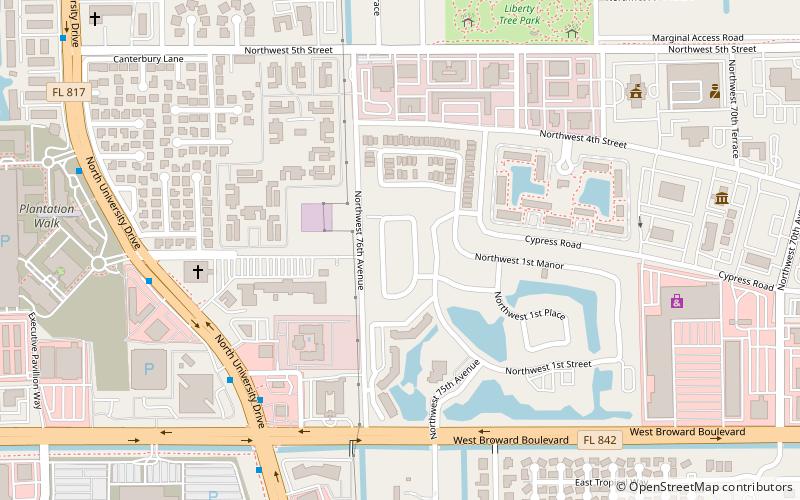
Map
Facts and practical information
Broward County Public Schools is a public school district serving Broward County, Florida, is the sixth largest public school system in the nation. During the 2016–2017 school year, Broward County Public Schools served 271,517 students enrolled in 327 schools and education centers district wide. The district is headquartered in downtown Fort Lauderdale. ()
Day trips
Broward County Public Schools – popular in the area (distance from the attraction)
Nearby attractions include: Young At Art Museum, Bergeron Rodeo Grounds, Westfield Broward, Swap Shop.
