Sherman Heights, San Diego
Map

Map

Facts and practical information
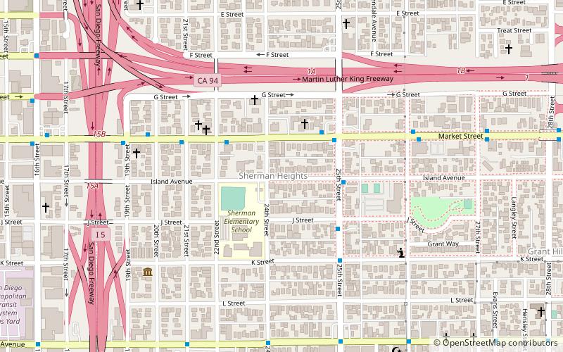
Sherman Heights is an urban neighborhood in central San Diego bordered by Golden Hill to the north, Grant Hill to the east, East Village to the west, and Logan Heights to the south. It is part of the Southeastern Planning Area. ()
Coordinates: 32°42'38"N, 117°8'31"W
Address
Downtown San Diego (Sherman Heights)San Diego
ContactAdd
Social media
Add
Day trips
Sherman Heights – popular in the area (distance from the attraction)
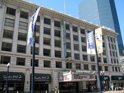
Nearby attractions include: Westfield Horton Plaza, Dolphin Cove, Petco Park, Chicano Park.
Frequently Asked Questions (FAQ)
Which popular attractions are close to Sherman Heights?
Nearby attractions include Villa Montezuma, San Diego (7 min walk), Grant Hill, San Diego (13 min walk), Golden Hill, San Diego (14 min walk), Voz Alta Project, San Diego (17 min walk).
How to get to Sherman Heights by public transport?
The nearest stations to Sherman Heights:
Light rail
Tram
Bus
Light rail
- 25th/Commercial • Lines: 520 (10 min walk)
- Park & Market • Lines: 510, 520, Silver (18 min walk)
Tram
- Park & Market • Lines: Silver (18 min walk)
- 12th & Imperial Transit Center • Lines: Silver (19 min walk)
Bus
- 12th & Imperial Transit Center • Lines: 929 (18 min walk)
- Metropolitan Transit Center (18 min walk)


