The Rail Golf Course, Springfield
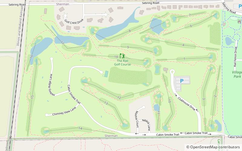
Map
Map

Facts and practical information
The Rail Golf Course (address: 1400 S Club House Dr) is a place located in Springfield (Illinois state) and belongs to the category of outdoor activities, golf.
It is situated at an altitude of 571 feet, and its geographical coordinates are 39°52'39"N latitude and 89°37'25"W longitude.
Among other places and attractions worth visiting in the area are: Carpenter Park (park, 16 min walk), Sherman (village, 40 min walk), Illinois State Fairgrounds (neighbourhood, 73 min walk).
Coordinates: 39°52'39"N, 89°37'25"W
Day trips
The Rail Golf Course – popular in the area (distance from the attraction)
Nearby attractions include: Prairie Capital Convention Center, Lincoln Tomb, Oak Ridge Cemetery, Springfield and Central Illinois African-American History Museum.


