Sun Valley, Denver
Map

Map

Facts and practical information
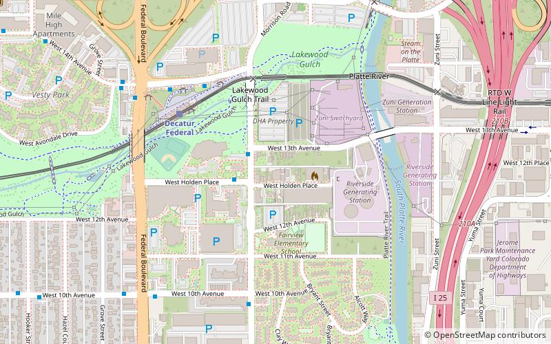
Sun Valley is a central Denver neighborhood, bordered by I-25 on the east, Federal Blvd. on the west, 6th Avenue on the south and 20th Ave. on the north. It is located in the area known as West Denver. ()
Coordinates: 39°44'9"N, 105°1'16"W
Address
West Denver (Sun Valley)Denver
ContactAdd
Social media
Add
Day trips
Sun Valley – popular in the area (distance from the attraction)
Nearby attractions include: Elitch Gardens, Empower Field at Mile High, Ball Arena, Children's Museum of Denver.
Frequently Asked Questions (FAQ)
Which popular attractions are close to Sun Valley?
Nearby attractions include Dickinson Branch Library, Denver (14 min walk), Colorado Sports Hall of Fame, Denver (15 min walk), Seventh Circle Music Collective, Denver (15 min walk), The Ravens Nest, Denver (21 min walk).
How to get to Sun Valley by public transport?
The nearest stations to Sun Valley:
Light rail
Bus
Light rail
- Decatur Federal • Lines: W (5 min walk)
- Knox • Lines: W (17 min walk)
Bus
- Decatur Street & West 10th Avenue • Lines: 9 (6 min walk)
- Decatur Federal Gate G • Lines: 1 (8 min walk)


